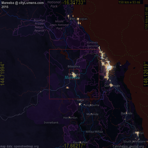
Mareeba night lights from space
Night Light of Mareeba (Queensland) from space (Australia) Src. Average luminocity for 10x10km area is 12.3009% and for 50x50km: 0.6956%.
Analysis of Mareeba night lights 2016
Square area 10x10 km:
 0%
0%90-99
0%80-89
2.38%70-79
2.81%60-69
3.46%50-59
3.46%40-49
0.87%30-39
3.46%20-29
0.87%10-19
0.43%0-9
82.25%Square area 50x50 km:
0%90-99
0%80-89
0.09%70-79
0.14%60-69
0.23%50-59
0.13%40-49
0.06%30-39
0.13%20-29
0.07%10-19
0.05%0-9
99.11%Clear (daylight) street map image can be seen on geolist.org.
Map coordinates:
16° 19' 2.4" South, 144° 43' 11.8" East
16° 59' 27.5" South, 145° 25' 23" East
17° 39' 43.8" South, 146° 7' 34.3" East
Some cities around Mareeba sort by population:
• Edmonton
34.3 km =21.3 mi,  95°
95°
• Redlynch
29.9 km =18.6 mi,  75°
75°
• Mount Sheridan
32.9 km =20.4 mi,  89°
89°
• Bentley Park
33.5 km =20.8 mi, 92°
• Atherton
31.4 km =19.5 mi,  169°
169°
• Mooroobool
33.4 km =20.8 mi, 79°
• Manoora
34.3 km =21.3 mi, 76°
• Brinsmead
32.7 km =20.3 mi,  71°
71°
2158767 (p: 11,339)
Sources (retrieved 2019-11-25):
» Earth at Night: Flat Maps 2012, 2016