Charters Towers night lights from space
Night Light of Charters Towers (Queensland) from space (Australia) Src. Average luminocity for 10x10km area is 14.1071% and for 50x50km: 0.6005%.
Analysis of Charters Towers night lights 2016
Square area 10x10 km:
 1.19%
1.19%90-99
1.19%80-89
3.17%70-79
0.4%60-69
4.17%50-59
1.39%40-49
3.97%30-39
1.19%20-29
2.18%10-19
0.2%0-9
80.95%Square area 50x50 km:
0.05%90-99
0.05%80-89
0.13%70-79
0.02%60-69
0.17%50-59
0.06%40-49
0.16%30-39
0.05%20-29
0.09%10-19
0.01%0-9
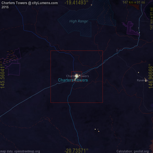
99.23%Clear (daylight) street map image can be seen on geolist.org.
Map coordinates:
19° 24' 53.7" South, 145° 33' 37.5" East
20° 4' 36.2" South, 146° 15' 48.7" East
20° 44' 8.6" South, 146° 57' 60" East
Some cities around Charters Towers sort by population:
• Kirwan
98.7 km =61.3 mi,  29°
29°
• Kelso
90.1 km =56 mi, 31°
• Mount Louisa
102.8 km =63.9 mi, 29°
• Douglas
98.1 km =61 mi, 31°
• Annandale
101.1 km =62.8 mi, 33°
• Cranbrook
99.9 km =62.1 mi, 30°
• Condon
95.6 km =59.4 mi, 29°
• Burdell
102.5 km =63.7 mi, 26°
2171722 (p: 9,573)
Sources (retrieved 2019-11-25):
» Earth at Night: Flat Maps 2012, 2016