Mount Gravatt East night lights from space
Night Light of Mount Gravatt East (Queensland) from space (Australia) Src. Average luminocity for 10x10km area is 84.4484% and for 50x50km: 44.9896%.
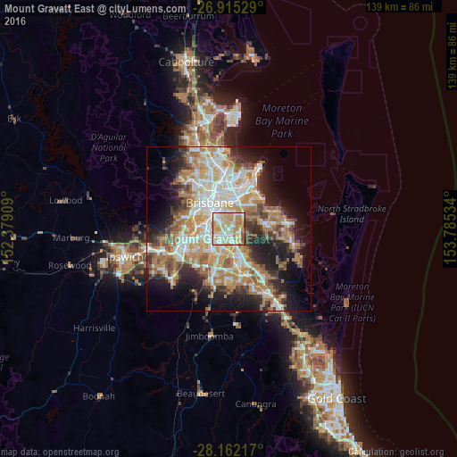
Analysis of Mount Gravatt East night lights 2016
Square area 10x10 km:
 19.44%
90-99
21.63%80-89
21.63%70-79
24.01%60-69
8.93%50-59
1.19%40-49
2.78%30-39
0.4%20-29
0%10-19
0%0-9
0%Square area 50x50 km:
8.75%90-99
9.6%80-89
5.5%70-79
6.44%60-69
11.8%50-59
3.78%40-49
4.26%30-39
4.62%20-29
7.88%10-19
12.1%0-9
25.26%Clear (daylight) street map image can be seen on geolist.org.
Map coordinates:
26° 54' 55" South, 152° 22' 44.7" East
27° 32' 25.8" South, 153° 4' 56" East
28° 9' 43.8" South, 153° 47' 7.2" East
Some cities around Mount Gravatt East sort by population:
• Tarragindi
3.9 km =2.4 mi,  292°
292°
• Wishart
2.4 km =1.5 mi,  129°
129°
• Upper Mount Gravatt
2.3 km =1.4 mi,  174°
174°
• Mansfield
1.7 km =1.1 mi,  85°
85°
• Holland Park
3 km =1.9 mi,  330°
330°
• Carina Heights
3.8 km =2.4 mi,  13°
13°
• Holland Park West
2.7 km =1.7 mi,  306°
306°
• Macgregor
3.1 km =1.9 mi,  209°
209°
9957347 (p: 11,663)
Sources (retrieved 2019-11-25):
» Earth at Night: Flat Maps 2012, 2016