Maffra night lights from space
Night Light of Maffra (Victoria) from space (Australia) Src. Average luminocity for 10x10km area is 2.1315% and for 50x50km: 0.8251%.
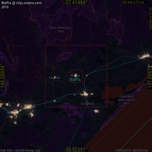
Analysis of Maffra night lights 2016
Square area 10x10 km:
 0%
0%90-99
0%80-89
0.65%70-79
0%60-69
0.65%50-59
0.49%40-49
1.46%30-39
0%20-29
0%10-19
0.65%0-9
96.1%Square area 50x50 km:
0.06%90-99
0.03%80-89
0.06%70-79
0.17%60-69
0.14%50-59
0.12%40-49
0.22%30-39
0.21%20-29
0.17%10-19
0.1%0-9
98.72%Clear (daylight) street map image can be seen on geolist.org.
Map coordinates:
37° 24' 53.8" South, 146° 16' 49.9" East
37° 58' 16.8" South, 146° 59' 1.2" East
38° 31' 24.6" South, 147° 41' 12.4" East
Some cities around Maffra sort by population:
• Traralgon
46 km =28.6 mi,  237°
237°
• Warragul
94.5 km =58.7 mi,  257°
257°
• Morwell
59.3 km =36.8 mi, 240°
• Sale
17.2 km =10.7 mi,  154°
154°
• Drouin
100.2 km =62.3 mi, 259°
• Moe
67.3 km =41.8 mi,  250°
250°
• Bairnsdale
57.4 km =35.7 mi,  73°
73°
• Newborough
64.5 km =40.1 mi, 249°
2159131 (p: 5,050)
Sources (retrieved 2019-11-25):
» Earth at Night: Flat Maps 2012, 2016