Bairnsdale night lights from space
Night Light of Bairnsdale (Victoria) from space (Australia) Src. Average luminocity for 10x10km area is 13.9184% and for 50x50km: 0.6599%.
Analysis of Bairnsdale night lights 2016
Square area 10x10 km:
 1.53%
1.53%90-99
0.51%80-89
0%70-79
4.93%60-69
1.87%50-59
1.36%40-49
4.93%30-39
2.21%20-29
2.38%10-19
0.34%0-9
79.93%Square area 50x50 km:
0.06%90-99
0.02%80-89
0%70-79
0.2%60-69
0.07%50-59
0.11%40-49
0.25%30-39
0.14%20-29
0.09%10-19
0.01%0-9
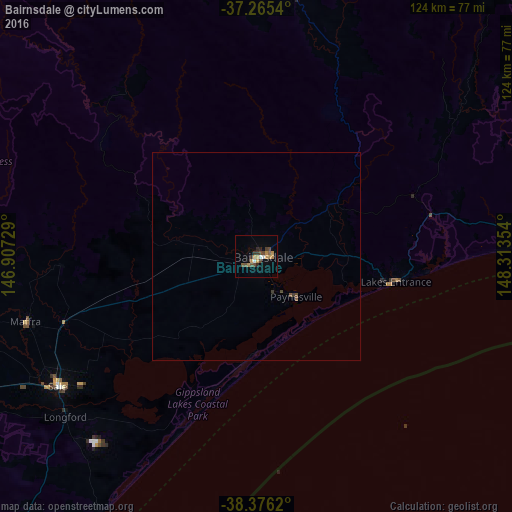
99.04%Clear (daylight) street map image can be seen on geolist.org.
Map coordinates:
37° 15' 55.4" South, 146° 54' 26.2" East
37° 49' 22.4" South, 147° 36' 37.5" East
38° 22' 34.3" South, 148° 18' 48.7" East
Some cities around Bairnsdale sort by population:
• Traralgon
102.4 km =63.6 mi,  246°
246°
• Warragul
151.8 km =94.3 mi,  255°
255°
• Morwell
115.9 km =72 mi, 246°
• Sale
57.3 km =35.6 mi,  236°
236°
• Drouin
157.5 km =97.9 mi, 257°
• Moe
124.7 km =77.5 mi, 251°
• Newborough
121.8 km =75.7 mi, 251°
• Maffra
57.4 km =35.7 mi, 253°
2177233 (p: 7,554)
Sources (retrieved 2019-11-25):
» Earth at Night: Flat Maps 2012, 2016