Kingscliff night lights from space
Night Light of Kingscliff (New South Wales) from space (Australia) Src. Average luminocity for 10x10km area is 16.4127% and for 50x50km: 7.164%.
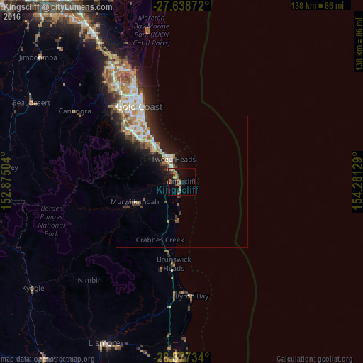
Analysis of Kingscliff night lights 2016
Square area 10x10 km:
 0.2%
0.2%90-99
0.6%80-89
1.79%70-79
1.79%60-69
6.75%50-59
2.78%40-49
2.58%30-39
4.17%20-29
1.59%10-19
12.9%0-9
64.88%Square area 50x50 km:
1.22%90-99
1.08%80-89
0.65%70-79
0.34%60-69
1.93%50-59
0.85%40-49
0.96%30-39
1.04%20-29
2.05%10-19
4.9%0-9
84.98%Clear (daylight) street map image can be seen on geolist.org.
Map coordinates:
27° 38' 19.4" South, 152° 52' 30.1" East
28° 15' 35.4" South, 153° 34' 41.4" East
28° 52' 38.4" South, 154° 16' 52.6" East
Some cities around Kingscliff sort by population:
• Banora Point
6.6 km =4.1 mi,  321°
321°
• Currumbin Waters
15.6 km =9.7 mi, 318°
• Tweed Heads
9.8 km =6.1 mi,  340°
340°
• Coolangatta
10.9 km =6.8 mi, 337°
• Tweed Heads South
8.1 km =5 mi,  332°
332°
• Tugun
14.4 km =8.9 mi, 327°
• Pottsville
14.3 km =8.9 mi,  187°
187°
• Tweed Heads West
9.7 km =6 mi, 326°
2161335 (p: 7,878)
Sources (retrieved 2019-11-25):
» Earth at Night: Flat Maps 2012, 2016