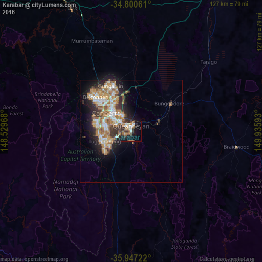
Karabar night lights from space
Night Light of Karabar (New South Wales) from space (Australia) Src. Average luminocity for 10x10km area is 36.696% and for 50x50km: 15.9887%.
Analysis of Karabar night lights 2016
Square area 10x10 km:
 5.86%
5.86%90-99
6.23%80-89
2.56%70-79
4.76%60-69
7.33%50-59
3.11%40-49
7.14%30-39
8.61%20-29
7.88%10-19
24.36%0-9
22.16%Square area 50x50 km:
2.48%90-99
3.12%80-89
1.55%70-79
2.47%60-69
3.95%50-59
1.88%40-49
1.42%30-39
2.66%20-29
3.43%10-19
6.41%0-9
70.63%Clear (daylight) street map image can be seen on geolist.org.
Map coordinates:
34° 48' 2.2" South, 148° 31' 46.8" East
35° 22' 33.4" South, 149° 13' 58.1" East
35° 56' 50" South, 149° 56' 9.3" East
Some cities around Karabar sort by population:
• Jerrabomberra
2.9 km =1.8 mi,  251°
251°
• Wanniassa
13.1 km =8.1 mi,  259°
259°
• Queanbeyan
2.3 km =1.4 mi,  358°
358°
• Narrabundah
8.8 km =5.5 mi,  300°
300°
• Calwell
13.5 km =8.4 mi,  237°
237°
• Monash
13.6 km =8.5 mi, 251°
• Campbell
12 km =7.5 mi,  323°
323°
• Chisholm
10.3 km =6.4 mi, 246°
8348612 (p: 8,184)
Sources (retrieved 2019-11-25):
» Earth at Night: Flat Maps 2012, 2016