Hervey Bay night lights from space
Night Light of Hervey Bay (Queensland) from space (Australia) Src. Average luminocity for 10x10km area is 10.9286% and for 50x50km: 2.3597%.
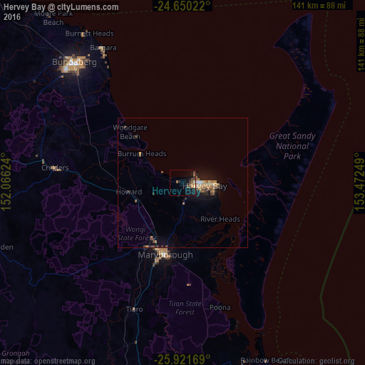
Analysis of Hervey Bay night lights 2016
Square area 10x10 km:
 0%
0%90-99
0.6%80-89
1.39%70-79
1.39%60-69
1.59%50-59
2.98%40-49
2.98%30-39
1.98%20-29
0.6%10-19
12.1%0-9
74.4%Square area 50x50 km:
0.09%90-99
0.15%80-89
0.26%70-79
0.33%60-69
0.55%50-59
0.51%40-49
0.33%30-39
0.4%20-29
0.31%10-19
2.23%0-9
94.84%Clear (daylight) street map image can be seen on geolist.org.
Map coordinates:
24° 39' 0.8" South, 152° 3' 58.5" East
25° 17' 15.4" South, 152° 46' 9.7" East
25° 55' 18.1" South, 153° 28' 21" East
Some cities around Hervey Bay sort by population:
• Bundaberg
63.2 km =39.3 mi,  317°
317°
• Maryborough
28.9 km =18 mi,  192°
192°
• Urangan
13.7 km =8.5 mi,  92°
92°
• Bargara
61 km =37.9 mi,  329°
329°
• Torquay
11 km =6.8 mi, 88°
• Urraween
5.4 km =3.4 mi,  99°
99°
• Point Vernon
5.9 km =3.7 mi,  54°
54°
• Tinana
31.2 km =19.4 mi,  199°
199°
6354957 (p: 52,230)
Sources (retrieved 2019-11-25):
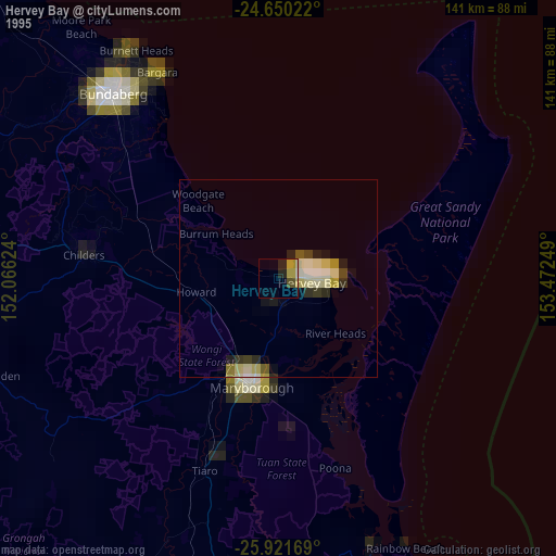
» NASA, Earths city lights 1995
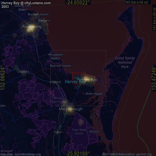
» NASA city lights 2003
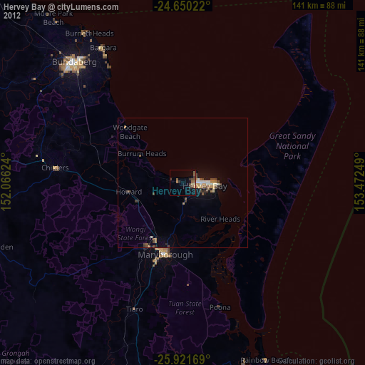
» Earth at Night: Flat Maps 2012, 2016