Goulburn night lights from space
Night Light of Goulburn (New South Wales) from space (Australia) Src. Average luminocity for 10x10km area is 23.8315% and for 50x50km: 1.1014%.

Analysis of Goulburn night lights 2016
Square area 10x10 km:
 2.93%
2.93%90-99
2.93%80-89
0.92%70-79
4.03%60-69
6.96%50-59
3.11%40-49
1.47%30-39
4.03%20-29
4.4%10-19
14.29%0-9
54.95%Square area 50x50 km:
0.11%90-99
0.11%80-89
0.04%70-79
0.16%60-69
0.3%50-59
0.16%40-49
0.1%30-39
0.19%20-29
0.21%10-19
0.58%0-9
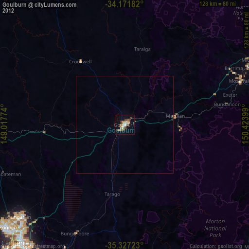
98.05%Clear (daylight) street map image can be seen on geolist.org.
Map coordinates:
34° 10' 18.6" South, 149° 1' 3.9" East
34° 45' 5.6" South, 149° 43' 15.1" East
35° 19' 38" South, 150° 25' 26.4" East
Some cities around Goulburn sort by population:
• Ngunnawal
72.6 km =45.1 mi,  229°
229°
• Bowral
70.9 km =44.1 mi,  64°
64°
• Moss Vale
63.4 km =39.4 mi,  69°
69°
• Harrison
71.6 km =44.5 mi, 225°
• Bonner
70 km =43.5 mi, 229°
• Franklin
72.5 km =45 mi, 226°
• Gungahlin
72 km =44.7 mi, 227°
• Amaroo
71.3 km =44.3 mi, 229°
2164837 (p: 22,645)
Sources (retrieved 2019-11-25):
» Earth at Night: Flat Maps 2012, 2016