Gordonvale night lights from space
Night Light of Gordonvale (Queensland) from space (Australia) Src. Average luminocity for 10x10km area is 6.8377% and for 50x50km: 4.1614%.
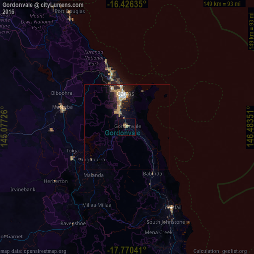
Analysis of Gordonvale night lights 2016
Square area 10x10 km:
 0%
0%90-99
0%80-89
1.08%70-79
1.52%60-69
1.08%50-59
2.38%40-49
1.73%30-39
0%20-29
1.08%10-19
0.87%0-9
90.26%Square area 50x50 km:
0.48%90-99
0.5%80-89
0.49%70-79
1.09%60-69
0.51%50-59
0.29%40-49
0.47%30-39
0.56%20-29
1.33%10-19
3.15%0-9
91.12%Clear (daylight) street map image can be seen on geolist.org.
Map coordinates:
16° 25' 34.9" South, 145° 4' 38.1" East
17° 5' 58.5" South, 145° 46' 49.4" East
17° 46' 13.5" South, 146° 29' 0.6" East
Some cities around Gordonvale sort by population:
• Cairns
19.6 km =12.2 mi,  355°
355°
• Edmonton
9.7 km =6 mi,  336°
336°
• Mount Sheridan
13.6 km =8.5 mi, 338°
• Bentley Park
11.5 km =7.1 mi, 337°
• Mooroobool
19 km =11.8 mi, 344°
• Cairns City
19.9 km =12.4 mi, 357°
• Manunda
20.5 km =12.7 mi,  350°
350°
• Woree
16.9 km =10.5 mi, 349°
2164883 (p: 6,754)
Sources (retrieved 2019-11-25):
» Earth at Night: Flat Maps 2012, 2016