Geelong night lights from space
Night Light of Geelong (Victoria) from space (Australia) Src. Average luminocity for 10x10km area is 56.9541% and for 50x50km: 7.3362%.
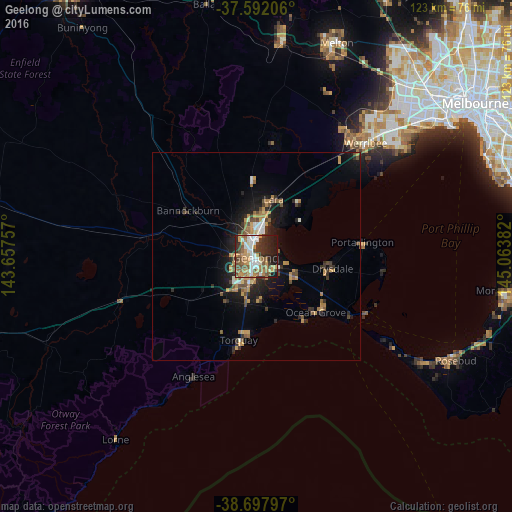

Analysis of Geelong night lights 2016
Square area 10x10 km:
 9.69%
9.69%90-99
10.71%80-89
3.91%70-79
13.78%60-69
9.18%50-59
9.86%40-49
9.18%30-39
8.16%20-29
14.12%10-19
11.39%0-9
0%Square area 50x50 km:
0.71%90-99
0.78%80-89
0.32%70-79
1.88%60-69
1.19%50-59
1.05%40-49
1.31%30-39
1.04%20-29
2.04%10-19
5%0-9
84.68%Clear (daylight) street map image can be seen on geolist.org.
Map coordinates:
37° 35' 31.4" South, 143° 39' 27.3" East
38° 8' 49.6" South, 144° 21' 38.5" East
38° 41' 52.7" South, 145° 3' 49.8" East
Some cities around Geelong sort by population:
• Highton
5 km =3.1 mi,  238°
238°
• Corio
7.4 km =4.6 mi,  15°
15°
• Grovedale
6 km =3.7 mi,  189°
189°
• Belmont
3.5 km =2.2 mi,  206°
206°
• Newtown
2.4 km =1.5 mi,  251°
251°
• Norlane
5.1 km =3.2 mi,  353°
353°
• Hamlyn Heights
4.1 km =2.5 mi,  315°
315°
• Waurn Ponds
10.3 km =6.4 mi,  221°
221°
2165798 (p: 226,034)
Sources (retrieved 2019-11-25):
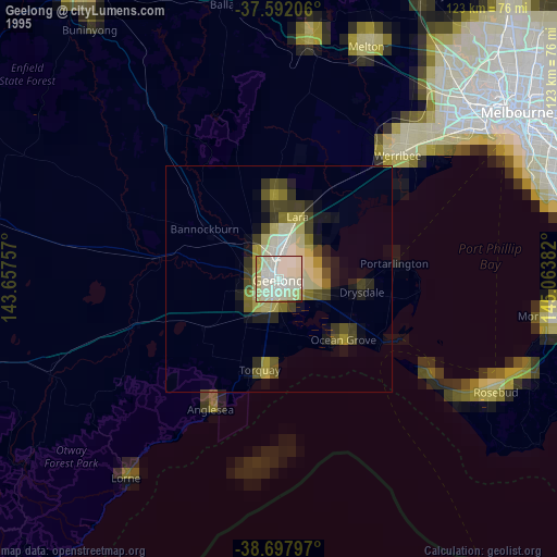
» NASA, Earths city lights 1995
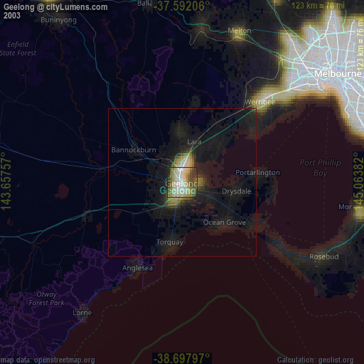
» NASA city lights 2003
» Earth at Night: Flat Maps 2012, 2016