South Toowoomba night lights from space
Night Light of South Toowoomba (Queensland) from space (Australia) Src. Average luminocity for 10x10km area is 65.0496% and for 50x50km: 5.2513%.
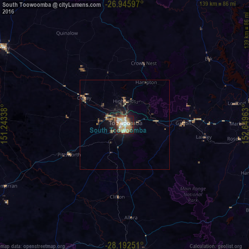
Analysis of South Toowoomba night lights 2016
Square area 10x10 km:
 10.32%
90-99
14.29%80-89
13.1%70-79
8.73%60-69
21.03%50-59
1.19%40-49
6.94%30-39
7.14%20-29
8.13%10-19
9.13%0-9
0%Square area 50x50 km:
0.44%90-99
0.57%80-89
0.57%70-79
0.44%60-69
1.78%50-59
0.27%40-49
0.98%30-39
1.11%20-29
1.25%10-19
3.88%0-9
88.72%Clear (daylight) street map image can be seen on geolist.org.
Map coordinates:
26° 56' 45.5" South, 151° 14' 36.2" East
27° 34' 15.6" South, 151° 56' 47.4" East
28° 11' 33" South, 152° 38' 58.7" East
Some cities around South Toowoomba sort by population:
• Toowoomba
1.4 km =0.9 mi,  31°
31°
• Newtown
2.2 km =1.4 mi,  320°
320°
• Kearneys Spring
3.8 km =2.4 mi,  188°
188°
• Harristown
1.9 km =1.2 mi,  223°
223°
• Rangeville
3.6 km =2.2 mi,  112°
112°
• Centenary Heights
2.4 km =1.5 mi,  138°
138°
• East Toowoomba
2.7 km =1.7 mi,  89°
89°
• Darling Heights
3.3 km =2.1 mi,  209°
209°
10114328 (p: 5,560)
Sources (retrieved 2019-11-25):
» Earth at Night: Flat Maps 2012, 2016