Toowoomba night lights from space
Night Light of Toowoomba (Queensland) from space (Australia) Src. Average luminocity for 10x10km area is 60.6667% and for 50x50km: 5.2346%.
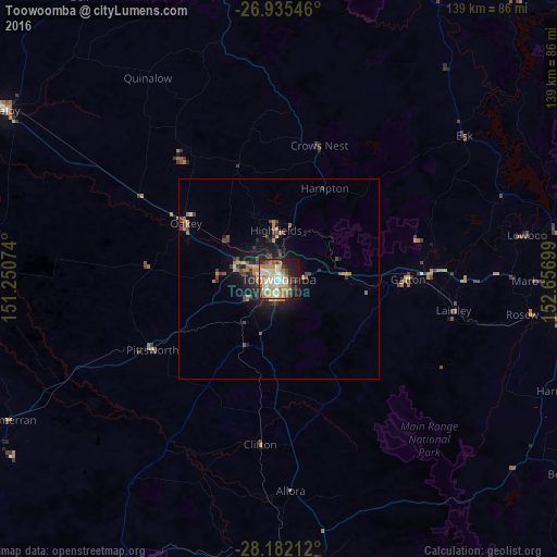
Analysis of Toowoomba night lights 2016
Square area 10x10 km:
 9.72%
9.72%90-99
13.49%80-89
12.1%70-79
6.15%60-69
18.85%50-59
1.59%40-49
6.94%30-39
7.74%20-29
6.94%10-19
15.48%0-9
0.99%Square area 50x50 km:
0.44%90-99
0.57%80-89
0.57%70-79
0.44%60-69
1.76%50-59
0.27%40-49
0.98%30-39
1.11%20-29
1.25%10-19
3.88%0-9
88.74%Clear (daylight) street map image can be seen on geolist.org.
Map coordinates:
26° 56' 7.7" South, 151° 15' 2.7" East
27° 33' 38" South, 151° 57' 13.9" East
28° 10' 55.6" South, 152° 39' 25.2" East
Some cities around Toowoomba sort by population:
• Newtown
2.2 km =1.4 mi,  283°
283°
• Harristown
3.2 km =2 mi,  218°
218°
• Rangeville
3.6 km =2.2 mi,  134°
134°
• Centenary Heights
3 km =1.9 mi,  163°
163°
• East Toowoomba
2.3 km =1.4 mi,  119°
119°
• Wilsonton
4.1 km =2.5 mi,  297°
297°
• South Toowoomba
1.4 km =0.9 mi,  211°
211°
• Darling Heights
4.6 km =2.9 mi, 209°
2146268 (p: 131,258)
Sources (retrieved 2019-11-25):
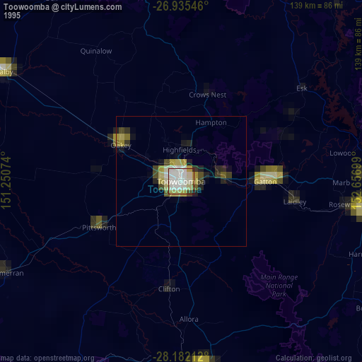
» NASA, Earths city lights 1995
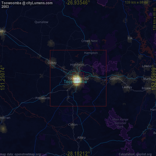
» NASA city lights 2003
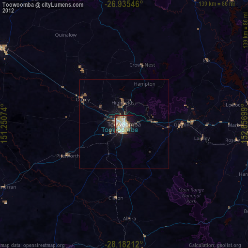
» Earth at Night: Flat Maps 2012, 2016