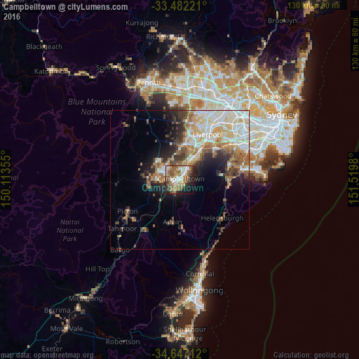
Campbelltown night lights from space
Night Light of Campbelltown (New South Wales) from space (Australia) Src. Average luminocity for 10x10km area is 58.8846% and for 50x50km: 23.7209%.
Analysis of Campbelltown night lights 2016
Square area 10x10 km:
 10.66%
90-99
10.14%80-89
5.94%70-79
7.87%60-69
17.48%50-59
12.76%40-49
8.57%30-39
6.29%20-29
6.47%10-19
11.54%0-9
2.27%Square area 50x50 km:
4.58%90-99
5.34%80-89
2.78%70-79
2.9%60-69
4.54%50-59
3.34%40-49
2.31%30-39
3.38%20-29
3.78%10-19
6.13%0-9
60.92%Clear (daylight) street map image can be seen on geolist.org.
Map coordinates:
33° 28' 56" South, 150° 6' 48.8" East
34° 4' 0" South, 150° 49' 0" East
34° 38' 49.6" South, 151° 31' 11.3" East
Some cities around Campbelltown sort by population:
• Minto
4.8 km =3 mi,  39°
39°
• Leumeah
2.4 km =1.5 mi, 39°
• Bradbury
2.1 km =1.3 mi,  183°
183°
• Rosemeadow
4.7 km =2.9 mi,  207°
207°
• Ambarvale
3.1 km =1.9 mi,  216°
216°
• St Helens Park
4.2 km =2.6 mi, 183°
• Eagle Vale
3.3 km =2.1 mi,  355°
355°
• Ruse
2.3 km =1.4 mi,  98°
98°
2172586 (p: 13,193)
Sources (retrieved 2019-11-25):
» Earth at Night: Flat Maps 2012, 2016