Gleisdorf night lights from space
Night Light of Gleisdorf (Styria) from space (Austria) Src. Average luminocity for 10x10km area is 8.4957% and for 50x50km: 5.8217%.
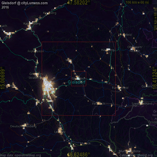
Analysis of Gleisdorf night lights 2016
Square area 10x10 km:
 2.13%
2.13%90-99
0.71%80-89
0%70-79
0.57%60-69
0.57%50-59
1.7%40-49
2.98%30-39
1.28%20-29
1.14%10-19
0%0-9
88.92%Square area 50x50 km:
0.77%90-99
1.23%80-89
0.45%70-79
0.79%60-69
0.76%50-59
0.98%40-49
0.84%30-39
0.87%20-29
1.39%10-19
2.77%0-9
89.15%Clear (daylight) street map image can be seen on geolist.org.
Map coordinates:
47° 34' 55.3" North, 15° 0' 25.2" East
47° 6' 20.1" North, 15° 42' 36.4" East
46° 37' 29.5" North, 16° 24' 47.7" East
Some cities around Gleisdorf sort by population:
• Graz
20.2 km =12.6 mi,  257°
257°
• Sankt Leonhard
19.5 km =12.1 mi, 258°
• Sankt Peter
19.4 km =12.1 mi,  251°
251°
• Liebenau
20.1 km =12.5 mi, 246°
• Waltendorf
18.9 km =11.7 mi, 256°
• Mariatrost
15.9 km =9.9 mi,  267°
267°
• Weiz
14.2 km =8.8 mi,  330°
330°
• Ries
17.2 km =10.7 mi, 261°
2778478 (p: 6,418)
Sources (retrieved 2019-11-25):
» Earth at Night: Flat Maps 2012, 2016