Amstetten night lights from space
Night Light of Amstetten (Lower Austria) from space (Austria) Src. Average luminocity for 10x10km area is 12.375% and for 50x50km: 2.1311%.
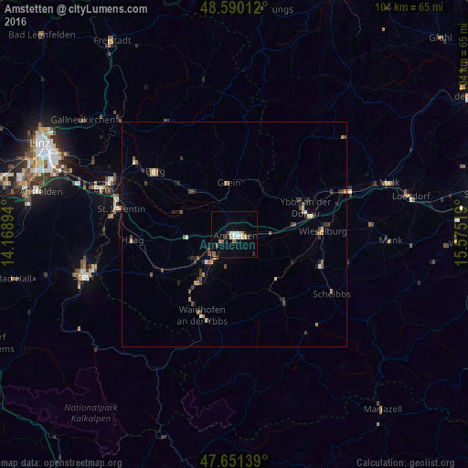
Analysis of Amstetten night lights 2016
Square area 10x10 km:
 2.53%
2.53%90-99
1.79%80-89
1.34%70-79
1.19%60-69
1.34%50-59
0.45%40-49
1.93%30-39
1.04%20-29
0.74%10-19
1.93%0-9
85.71%Square area 50x50 km:
0.14%90-99
0.22%80-89
0.24%70-79
0.22%60-69
0.37%50-59
0.26%40-49
0.48%30-39
0.54%20-29
0.33%10-19
0.36%0-9
96.82%Clear (daylight) street map image can be seen on geolist.org.
Map coordinates:
48° 35' 24.4" North, 14° 10' 8.2" East
48° 7' 22.4" North, 14° 52' 19.4" East
47° 39' 5" North, 15° 34' 30.7" East
Some cities around Amstetten sort by population:
• Steyr
34.7 km =21.6 mi,  255°
255°
• Enns
31 km =19.3 mi,  288°
288°
• Sankt Valentin
26.8 km =16.7 mi,  280°
280°
• Haid
46.9 km =29.1 mi, 281°
• Sankt Martin
46.4 km =28.8 mi, 285°
• Gallneukirchen
42.4 km =26.3 mi,  307°
307°
• Perg
22.6 km =14 mi, 308°
• Neuzeug
40.8 km =25.4 mi, 258°
2782555 (p: 15,559)
Sources (retrieved 2019-11-25):
» Earth at Night: Flat Maps 2012, 2016