Steyr night lights from space
Night Light of Steyr (Upper Austria) from space (Austria) Src. Average luminocity for 10x10km area is 15.2841% and for 50x50km: 5.0171%.
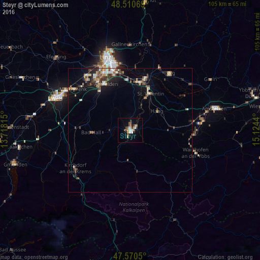
Analysis of Steyr night lights 2016
Square area 10x10 km:
 1.85%
1.85%90-99
1.99%80-89
2.84%70-79
0.71%60-69
2.84%50-59
2.13%40-49
2.41%30-39
1.7%20-29
0.57%10-19
6.39%0-9
76.56%Square area 50x50 km:
0.49%90-99
0.77%80-89
0.54%70-79
0.52%60-69
0.57%50-59
0.81%40-49
0.99%30-39
0.83%20-29
1.09%10-19
3.02%0-9
90.38%Clear (daylight) street map image can be seen on geolist.org.
Map coordinates:
48° 30' 38.5" North, 13° 43' 5.3" East
48° 2' 33.9" North, 14° 25' 16.6" East
47° 34' 13.8" North, 15° 7' 27.8" East
Some cities around Steyr sort by population:
• Enns
19.4 km =12.1 mi,  12°
12°
• Sankt Valentin
15.5 km =9.6 mi,  27°
27°
• Haid
22 km =13.7 mi,  324°
324°
• Sankt Martin
23.8 km =14.8 mi,  331°
331°
• Kremsmünster
21.7 km =13.5 mi,  272°
272°
• Neuhofen an der Krems
17.9 km =11.1 mi,  306°
306°
• Neuzeug
6.6 km =4.1 mi,  277°
277°
• Bad Hall
15.9 km =9.9 mi, 268°
2764359 (p: 38,331)
Sources (retrieved 2019-11-25):
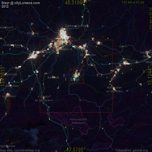
» Earth at Night: Flat Maps 2012, 2016