Villa Ángela night lights from space
Night Light of Villa Ángela (Chaco) from space (Argentina) Src. Average luminocity for 10x10km area is 33.8254% and for 50x50km: 2.0762%.
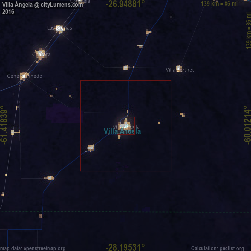
Analysis of Villa Ángela night lights 2016
Square area 10x10 km:
 6.94%
6.94%90-99
5.75%80-89
2.38%70-79
3.97%60-69
6.35%50-59
3.97%40-49
3.17%30-39
2.78%20-29
3.17%10-19
42.46%0-9
19.05%Square area 50x50 km:
0.32%90-99
0.26%80-89
0.17%70-79
0.32%60-69
0.37%50-59
0.15%40-49
0.3%30-39
0.16%20-29
0.18%10-19
1.81%0-9
95.96%Clear (daylight) street map image can be seen on geolist.org.
Map coordinates:
26° 56' 55.7" South, 61° 25' 6.2" West
27° 34' 25.8" South, 60° 42' 54.9" West
28° 11' 43.1" South, 60° 0' 43.7" West
Some cities around Villa Ángela sort by population:
• Charata
61.4 km =38.2 mi,  310°
310°
• Las Breñas
64.9 km =40.3 mi,  326°
326°
• General Pinedo
62.9 km =39.1 mi,  297°
297°
• San Bernardo
31.8 km =19.8 mi,  0°
0°
• Corzuela
73.4 km =45.6 mi,  339°
339°
• Coronel Du Graty
22.9 km =14.2 mi,  238°
238°
• Santa Sylvina
50.6 km =31.4 mi, 235°
• Hermoso Campo
62.1 km =38.6 mi,  266°
266°
3832811 (p: 43,511)
Sources (retrieved 2019-11-25):
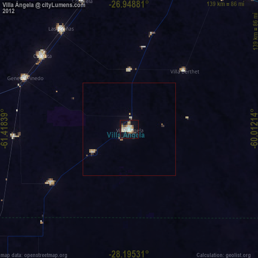
» Earth at Night: Flat Maps 2012, 2016