Junín night lights from space
Night Light of Junín (Buenos Aires) from space (Argentina) Src. Average luminocity for 10x10km area is 45.4318% and for 50x50km: 2.8559%.
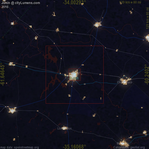
Analysis of Junín night lights 2016
Square area 10x10 km:
 7.17%
7.17%90-99
8.04%80-89
7.52%70-79
6.47%60-69
5.24%50-59
12.94%40-49
1.22%30-39
4.9%20-29
6.99%10-19
31.29%0-9
8.22%Square area 50x50 km:
0.29%90-99
0.32%80-89
0.41%70-79
0.34%60-69
0.35%50-59
0.83%40-49
0.11%30-39
0.52%20-29
0.39%10-19
2.75%0-9
93.69%Clear (daylight) street map image can be seen on geolist.org.
Map coordinates:
34° 0' 10.5" South, 61° 38' 47.2" West
34° 35' 1.8" South, 60° 56' 36" West
35° 9' 38.4" South, 60° 14' 24.7" West
Some cities around Junín sort by population:
• Pergamino
84.3 km =52.4 mi,  23°
23°
• Venado Tuerto
132.6 km =82.4 mi,  314°
314°
• Chivilcoy
91.5 km =56.9 mi,  112°
112°
• Lincoln
62.2 km =38.6 mi,  239°
239°
• Nueve de Julio
95.8 km =59.5 mi,  176°
176°
• Chacabuco
43.4 km =27 mi,  98°
98°
• Veinticinco de Mayo
117.6 km =73.1 mi,  143°
143°
• Villa Cañás
88.6 km =55.1 mi,  316°
316°
3853354 (p: 85,007)
Sources (retrieved 2019-11-25):
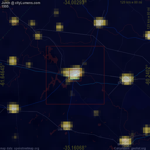
» NASA, Earths city lights 1995
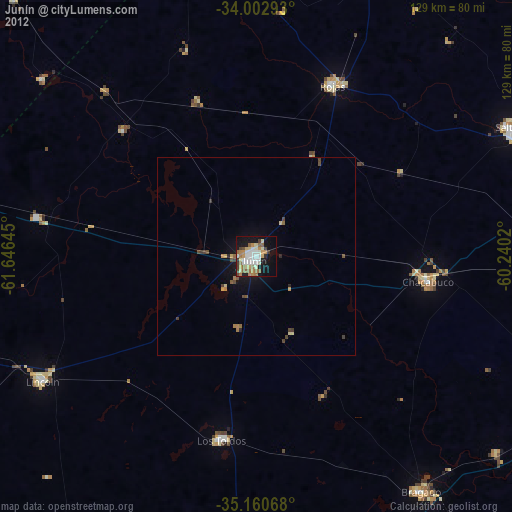
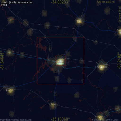
» NASA city lights 2003
» Earth at Night: Flat Maps 2012, 2016