Chacabuco night lights from space
Night Light of Chacabuco (Buenos Aires) from space (Argentina) Src. Average luminocity for 10x10km area is 27.4213% and for 50x50km: 1.3775%.
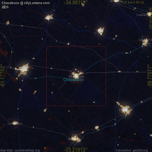
Analysis of Chacabuco night lights 2016
Square area 10x10 km:
 1.57%
1.57%90-99
3.32%80-89
4.02%70-79
5.94%60-69
6.47%50-59
4.9%40-49
1.75%30-39
1.75%20-29
3.67%10-19
28.15%0-9
38.46%Square area 50x50 km:
0.06%90-99
0.13%80-89
0.19%70-79
0.27%60-69
0.29%50-59
0.27%40-49
0.11%30-39
0.11%20-29
0.22%10-19
1.16%0-9
97.19%Clear (daylight) street map image can be seen on geolist.org.
Map coordinates:
34° 3' 40.2" South, 61° 10' 37.3" West
34° 38' 30" South, 60° 28' 26" West
35° 13' 5.2" South, 59° 46' 14.8" West
Some cities around Chacabuco sort by population:
• Pergamino
84.1 km =52.3 mi,  353°
353°
• Junín
43.4 km =27 mi,  278°
278°
• Luján
125.5 km =78 mi,  86°
86°
• Chivilcoy
50.4 km =31.3 mi,  124°
124°
• Mercedes
95.4 km =59.3 mi, 90°
• Lincoln
99.7 km =62 mi,  255°
255°
• Nueve de Julio
96.7 km =60.1 mi,  202°
202°
• Veinticinco de Mayo
92.1 km =57.2 mi,  162°
162°
3861953 (p: 34,587)
Sources (retrieved 2019-11-25):
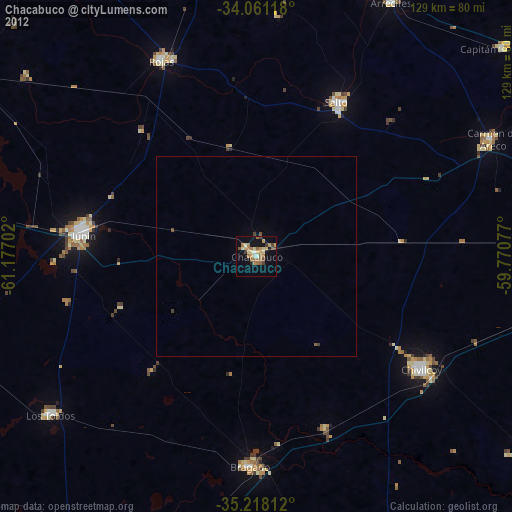
» Earth at Night: Flat Maps 2012, 2016