Tortuguitas night lights from space
Night Light of Tortuguitas (Buenos Aires) from space (Argentina) Src. Average luminocity for 10x10km area is 96.743% and for 50x50km: 62.5747%.
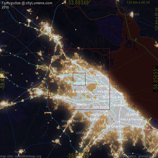
Analysis of Tortuguitas night lights 2016
Square area 10x10 km:
 51.05%
90-99
36.01%80-89
8.74%70-79
4.2%60-69
0%50-59
0%40-49
0%30-39
0%20-29
0%10-19
0%0-9
0%Square area 50x50 km:
25.59%90-99
12.93%80-89
5.53%70-79
7.78%60-69
6.49%50-59
7.25%40-49
3.81%30-39
3.24%20-29
6.22%10-19
8.45%0-9
12.72%Clear (daylight) street map image can be seen on geolist.org.
Map coordinates:
33° 53' 36.6" South, 59° 27' 24.5" West
34° 28' 30.5" South, 58° 45' 13.2" West
35° 3' 9.9" South, 58° 3' 2" West
Some cities around Tortuguitas sort by population:
• José C. Paz
4.7 km =2.9 mi,  196°
196°
• San Miguel
8.5 km =5.3 mi,  153°
153°
• Don Torcuato
11.8 km =7.3 mi,  100°
100°
• Los Polvorines
5.4 km =3.4 mi,  125°
125°
• Villa de Mayo
7.8 km =4.8 mi,  120°
120°
• General Pacheco
10.4 km =6.5 mi,  76°
76°
• Ingeniero Pablo Nogués
4.3 km =2.7 mi,  93°
93°
• Muñiz
10 km =6.2 mi, 154°
3427687 (p: 41,390)
Sources (retrieved 2019-11-25):
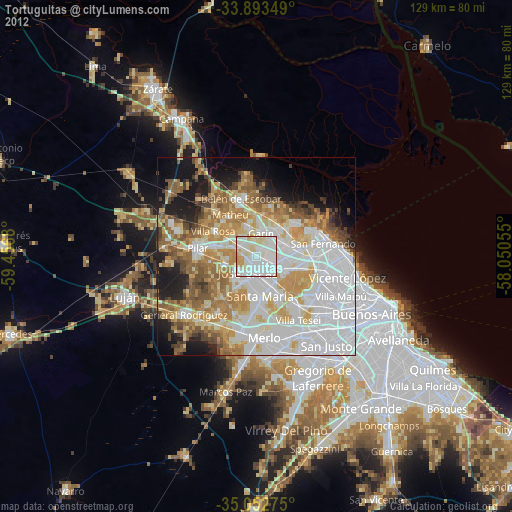
» Earth at Night: Flat Maps 2012, 2016