Los Polvorines night lights from space
Night Light of Los Polvorines (Buenos Aires) from space (Argentina) Src. Average luminocity for 10x10km area is 95.6084% and for 50x50km: 67.6113%.
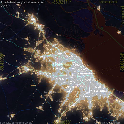
Analysis of Los Polvorines night lights 2016
Square area 10x10 km:
 54.55%
90-99
30.59%80-89
3.5%70-79
10.84%60-69
0.52%50-59
0%40-49
0%30-39
0%20-29
0%10-19
0%0-9
0%Square area 50x50 km:
30.3%90-99
14.85%80-89
5.43%70-79
7.51%60-69
6.48%50-59
6.64%40-49
3.7%30-39
2.9%20-29
4.97%10-19
5.65%0-9
11.57%Clear (daylight) street map image can be seen on geolist.org.
Map coordinates:
33° 55' 18.2" South, 59° 24' 32.7" West
34° 30' 11.4" South, 58° 42' 21.5" West
35° 4' 50.1" South, 58° 0' 10.2" West
Some cities around Los Polvorines sort by population:
• José C. Paz
5.9 km =3.7 mi,  256°
256°
• San Miguel
4.5 km =2.8 mi,  187°
187°
• Don Torcuato
7.3 km =4.5 mi,  82°
82°
• Villa de Mayo
2.5 km =1.6 mi,  110°
110°
• General Pacheco
8.1 km =5 mi,  45°
45°
• Tortuguitas
5.4 km =3.4 mi,  305°
305°
• Ingeniero Pablo Nogués
2.8 km =1.7 mi,  358°
358°
• Muñiz
5.9 km =3.7 mi,  181°
181°
3431057 (p: 53,354)
Sources (retrieved 2019-11-25):
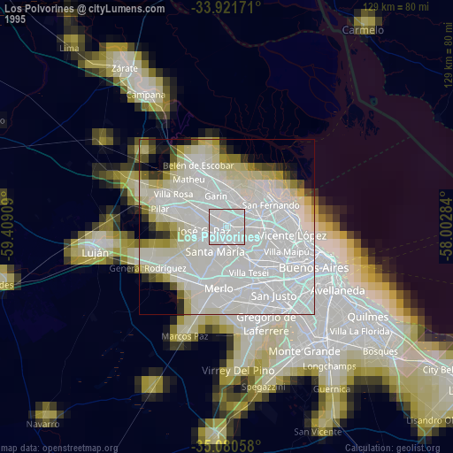
» NASA, Earths city lights 1995
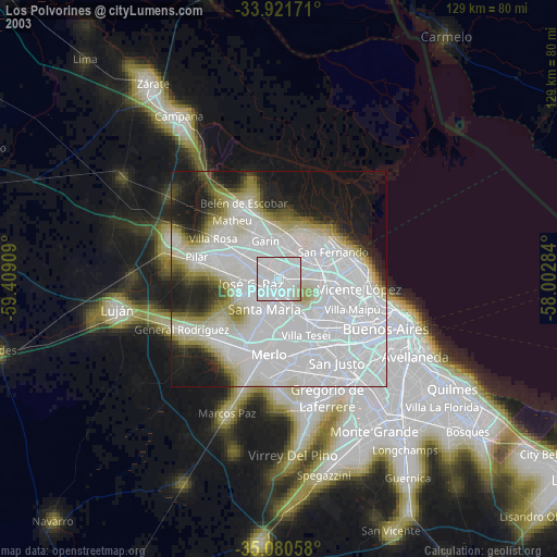
» NASA city lights 2003
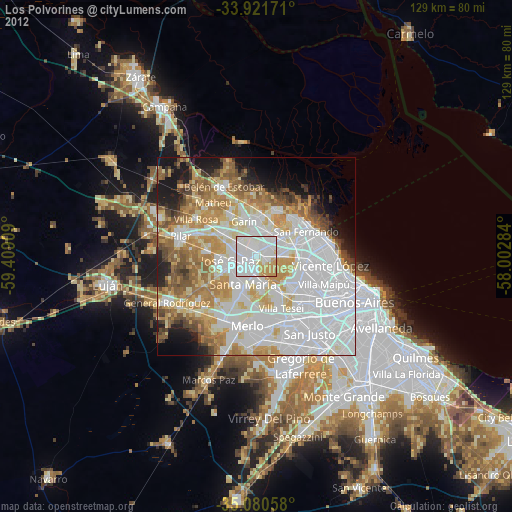
» Earth at Night: Flat Maps 2012, 2016