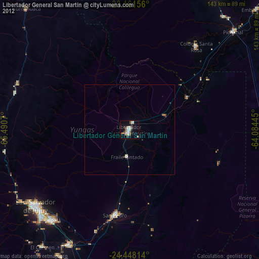
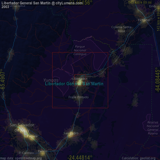
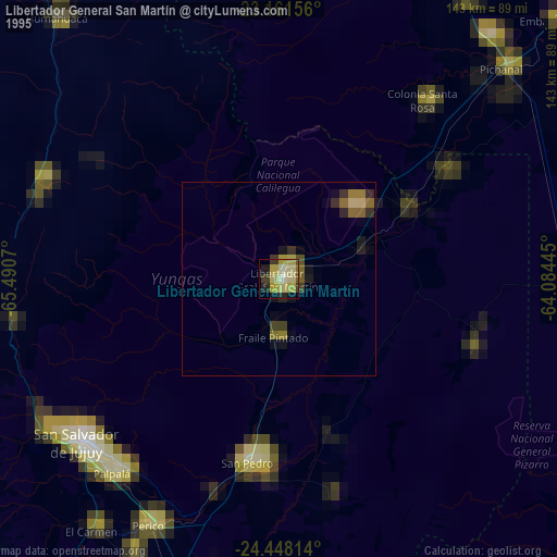
Libertador General San Martín night lights from space
Night Light of Libertador General San Martín (Jujuy) from space (Argentina) Src. Average luminocity for 10x10km area is 27.7778% and for 50x50km: 1.5907%.
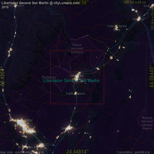
Analysis of Libertador General San Martín night lights 2016
Square area 10x10 km:
 2.98%
2.98%90-99
3.17%80-89
4.96%70-79
2.98%60-69
8.33%50-59
2.38%40-49
2.18%30-39
1.98%20-29
4.76%10-19
24.01%0-9
42.26%Square area 50x50 km:
0.12%90-99
0.18%80-89
0.23%70-79
0.17%60-69
0.45%50-59
0.16%40-49
0.16%30-39
0.15%20-29
0.26%10-19
0.95%0-9
97.17%Clear (daylight) street map image can be seen on geolist.org.
Map coordinates:
23° 9' 41.6" South, 65° 29' 26.5" West
23° 48' 23.2" South, 64° 47' 15.3" West
24° 26' 53.3" South, 64° 5' 4" West
Some cities around Libertador General San Martín sort by population:
• San Pedro de Jujuy
47.9 km =29.8 mi,  189°
189°
• Palpalá
66 km =41 mi,  220°
220°
• Fraile Pintado
15 km =9.3 mi,  184°
184°
• Yuto
36.9 km =22.9 mi,  60°
60°
• Caimancito
21 km =13 mi,  69°
69°
• Palma Sola
52.8 km =32.8 mi,  111°
111°
• Calilegua
4.1 km =2.5 mi,  26°
26°
• Ingenio La Esperanza
46.9 km =29.1 mi, 186°
3846915 (p: 49,267)
Sources (retrieved 2019-11-25):
» NASA, Earths city lights 1995
» NASA city lights 2003
» Earth at Night: Flat Maps 2012, 2016