Santa Lucía night lights from space
Night Light of Santa Lucía (San Juan) from space (Argentina) Src. Average luminocity for 10x10km area is 85.5769% and for 50x50km: 23.0109%.
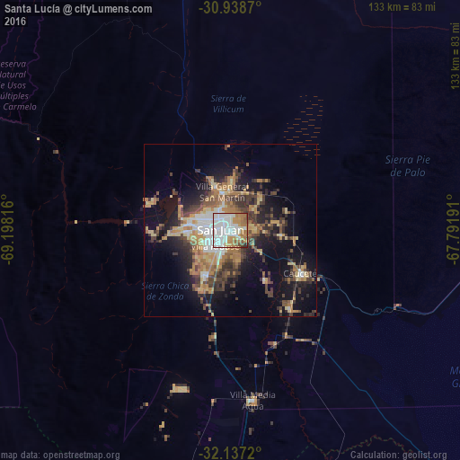
Analysis of Santa Lucía night lights 2016
Square area 10x10 km:
 41.96%
90-99
17.48%80-89
3.15%70-79
13.99%60-69
13.99%50-59
5.07%40-49
1.92%30-39
2.1%20-29
0.35%10-19
0%0-9
0%Square area 50x50 km:
3.62%90-99
2.22%80-89
2.81%70-79
3.67%60-69
5.03%50-59
2.66%40-49
3.91%30-39
5.04%20-29
4.9%10-19
11.9%0-9
54.23%Clear (daylight) street map image can be seen on geolist.org.
Map coordinates:
30° 56' 19.3" South, 69° 11' 53.4" West
31° 32' 23.5" South, 68° 29' 42.1" West
32° 8' 13.9" South, 67° 47' 30.9" West
Some cities around Santa Lucía sort by population:
• San Juan
3.9 km =2.4 mi,  273°
273°
• Chimbas
7.3 km =4.5 mi,  329°
329°
• Pocito
18 km =11.2 mi,  207°
207°
• Caucete
23.8 km =14.8 mi,  121°
121°
• Albardón
11.8 km =7.3 mi,  345°
345°
• Villa Paula de Sarmiento
6.6 km =4.1 mi,  321°
321°
• San Martín
12.3 km =7.6 mi,  357°
357°
• Nueve de Julio
17.5 km =10.9 mi,  145°
145°
3836194 (p: 43,565)
Sources (retrieved 2019-11-25):
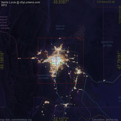
» Earth at Night: Flat Maps 2012, 2016