Garupá night lights from space
Night Light of Garupá (Misiones) from space (Argentina) Src. Average luminocity for 10x10km area is 41.6766% and for 50x50km: 15.0565%.
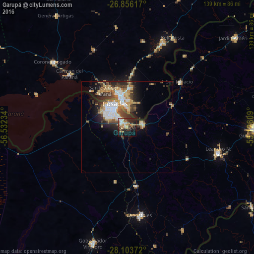
Analysis of Garupá night lights 2016
Square area 10x10 km:
 6.55%
6.55%90-99
5.75%80-89
7.34%70-79
6.35%60-69
6.35%50-59
4.17%40-49
5.16%30-39
5.56%20-29
13.1%10-19
30.75%0-9
8.93%Square area 50x50 km:
3.11%90-99
2.22%80-89
2.44%70-79
1.82%60-69
1.93%50-59
1.47%40-49
2.39%30-39
2.61%20-29
3.84%10-19
6.35%0-9
71.81%Clear (daylight) street map image can be seen on geolist.org.
Map coordinates:
26° 51' 22.2" South, 56° 31' 56.4" West
27° 28' 54.2" South, 55° 49' 45.2" West
28° 6' 13.4" South, 55° 7' 33.9" West
Some cities around Garupá sort by population:
• Posadas
14.4 km =8.9 mi,  332°
332°
• Encarnación, PY
17.2 km =10.7 mi,  347°
347°
• Candelaria
8.6 km =5.3 mi,  73°
73°
• San José
32.4 km =20.1 mi,  171°
171°
• Obligado, PY
53.5 km =33.2 mi,  21°
21°
• Gobernador Roca
48.8 km =30.3 mi,  47°
47°
• Cerro Azul
36.9 km =22.9 mi,  117°
117°
• Hohenau, PY
49 km =30.4 mi, 22°
3433836 (p: 28,814)
Sources (retrieved 2019-11-25):
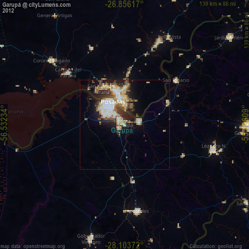
» Earth at Night: Flat Maps 2012, 2016