Catriel night lights from space
Night Light of Catriel (Rio Negro) from space (Argentina) Src. Average luminocity for 10x10km area is 19.0471% and for 50x50km: 1.507%.
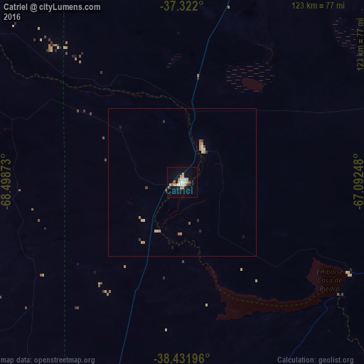
Analysis of Catriel night lights 2016
Square area 10x10 km:
 3.57%
3.57%90-99
2.27%80-89
3.57%70-79
4.22%60-69
0.65%50-59
1.95%40-49
0%30-39
0.81%20-29
0.49%10-19
15.26%0-9
67.21%Square area 50x50 km:
0.18%90-99
0.16%80-89
0.31%70-79
0.35%60-69
0.12%50-59
0.14%40-49
0.06%30-39
0.15%20-29
0.09%10-19
0.72%0-9
97.73%Clear (daylight) street map image can be seen on geolist.org.
Map coordinates:
37° 19' 19.2" South, 68° 29' 55.4" West
37° 52' 44.7" South, 67° 47' 44.2" West
38° 25' 55.1" South, 67° 5' 32.9" West
Some cities around Catriel sort by population:
• Neuquén
121.4 km =75.4 mi,  190°
190°
• Cipolletti
118.5 km =73.6 mi, 188°
• Centenario
109.7 km =68.2 mi,  195°
195°
• Allen
122.1 km =75.9 mi,  181°
181°
• Plottier
126.8 km =78.8 mi, 197°
• Cinco Saltos
107.4 km =66.7 mi, 192°
• Veinticinco de Mayo
13.6 km =8.5 mi,  30°
30°
• General Fernández Oro
119.9 km =74.5 mi, 185°
3862254 (p: 15,169)
Sources (retrieved 2019-11-25):
» Earth at Night: Flat Maps 2012, 2016