Qubadlı night lights from space
Night Light of Qubadlı from space (Azerbaijan) Src. Average luminocity for 10x10km area is 0.2925% and for 50x50km: 0.1772%.
Analysis of Qubadlı night lights 2016
Square area 10x10 km:
 0%
0%90-99
0%80-89
0%70-79
0%60-69
0%50-59
0%40-49
0.68%30-39
0%20-29
0%10-19
0%0-9
99.32%Square area 50x50 km:
0%90-99
0%80-89
0%70-79
0%60-69
0.05%50-59
0.05%40-49
0.09%30-39
0.08%20-29
0.11%10-19
0.03%0-9
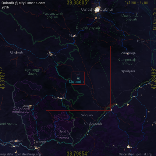
99.59%Clear (daylight) street map image can be seen on geolist.org.
Map coordinates:
39° 53' 9.8" North, 45° 52' 43.4" East
39° 20' 39.9" North, 46° 34' 54.6" East
38° 47' 54.7" North, 47° 17' 5.9" East
Some cities around Qubadlı sort by population:
• Kapan, AM
21.5 km =13.4 mi,  224°
224°
• Goris, AM
27.7 km =17.2 mi,  311°
311°
• Shushi
48.4 km =30.1 mi,  17°
17°
• Hats’avan, AM
54.2 km =33.7 mi,  284°
284°
• Jebrail
38.9 km =24.2 mi,  80°
80°
• Zangilan
29.8 km =18.5 mi,  166°
166°
• Mincivan
37 km =23 mi,  160°
160°
• Laçın
28.4 km =17.6 mi,  354°
354°
147305 (p: 6,890)
Sources (retrieved 2019-11-25):
» Earth at Night: Flat Maps 2012, 2016