Vlorë night lights from space
Night Light of Vlorë from space (Albania) Src. Average luminocity for 10x10km area is 28.2755% and for 50x50km: 2.2924%.
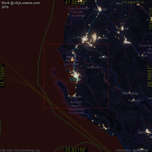
Analysis of Vlorë night lights 2016
Square area 10x10 km:
 4.42%
4.42%90-99
4.93%80-89
2.55%70-79
2.72%60-69
6.29%50-59
3.74%40-49
2.55%30-39
2.21%20-29
3.06%10-19
31.29%0-9
36.22%Square area 50x50 km:
0.19%90-99
0.3%80-89
0.16%70-79
0.41%60-69
0.32%50-59
0.26%40-49
0.25%30-39
0.36%20-29
0.31%10-19
2.05%0-9
95.39%Clear (daylight) street map image can be seen on geolist.org.
Map coordinates:
41° 0' 5" North, 18° 46' 48.2" East
40° 28' 7" North, 19° 28' 59.4" East
39° 55' 53.6" North, 20° 11' 10.7" East
Some cities around Vlorë sort by population:
• Fier-Çifçi
28.5 km =17.7 mi,  14°
14°
• Patos
26.5 km =16.5 mi,  25°
25°
• Fier
29 km =18 mi, 12°
• Berat
47.6 km =29.6 mi,  56°
56°
• Patos Fshat
24 km =14.9 mi,  36°
36°
• Ballsh
25.7 km =16 mi, 55°
• Selenicë
14.6 km =9.1 mi, 61°
• Roskovec
35.2 km =21.9 mi, 31°
3183719 (p: 89,546)
Sources (retrieved 2019-11-25):
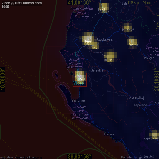
» NASA, Earths city lights 1995
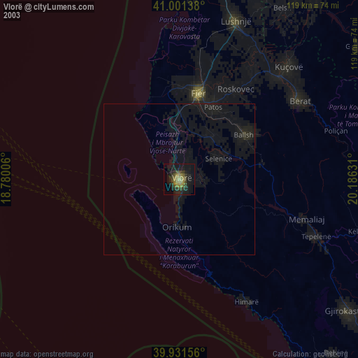
» NASA city lights 2003
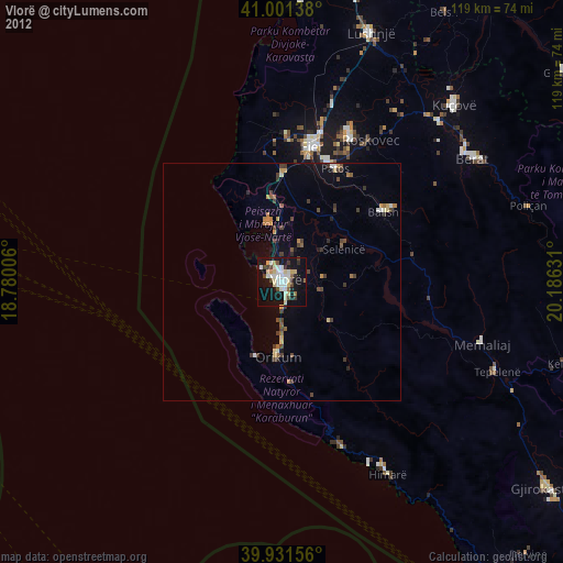
» Earth at Night: Flat Maps 2012, 2016