Fier night lights from space
Night Light of Fier from space (Albania) Src. Average luminocity for 10x10km area is 29.2078% and for 50x50km: 3.7338%.
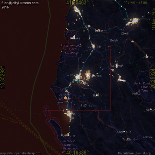
Analysis of Fier night lights 2016
Square area 10x10 km:
 2.27%
2.27%90-99
5.68%80-89
3.25%70-79
4.71%60-69
4.55%50-59
2.27%40-49
3.25%30-39
2.92%20-29
10.39%10-19
35.23%0-9
25.49%Square area 50x50 km:
0.2%90-99
0.53%80-89
0.34%70-79
0.7%60-69
0.41%50-59
0.41%40-49
0.43%30-39
0.74%20-29
1.12%10-19
3.24%0-9
91.87%Clear (daylight) street map image can be seen on geolist.org.
Map coordinates:
41° 15' 16.7" North, 18° 51' 10.8" East
40° 43' 26" North, 19° 33' 22" East
40° 11' 20" North, 20° 15' 33.3" East
Some cities around Fier sort by population:
• Vlorë
29 km =18 mi,  192°
192°
• Fier-Çifçi
1.2 km =0.7 mi,  132°
132°
• Patos
7 km =4.3 mi, 130°
• Lushnjë
27.3 km =17 mi,  27°
27°
• Patos Fshat
12 km =7.5 mi,  138°
138°
• Ballsh
20.5 km =12.7 mi, 132°
• Selenicë
22.5 km =14 mi,  162°
162°
• Roskovec
12.4 km =7.7 mi,  82°
82°
3185672 (p: 56,297)
Sources (retrieved 2019-11-25):
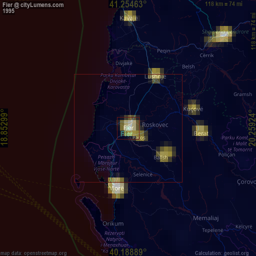
» NASA, Earths city lights 1995
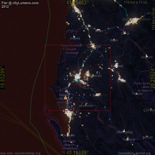
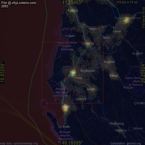
» NASA city lights 2003
» Earth at Night: Flat Maps 2012, 2016