Pul-e Khumrī night lights from space
Night Light of Pul-e Khumrī (Baghlan) from space (Afghanistan) Src. Average luminocity for 10x10km area is 20.5586% and for 50x50km: 0.9475%.
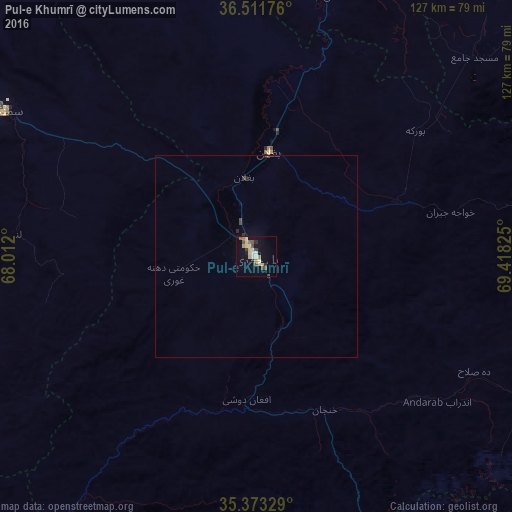

Analysis of Pul-e Khumrī night lights 2016
Square area 10x10 km:
 1.28%
1.28%90-99
2.38%80-89
7.33%70-79
1.47%60-69
1.47%50-59
3.11%40-49
3.3%30-39
1.28%20-29
2.01%10-19
10.99%0-9
65.38%Square area 50x50 km:
0.05%90-99
0.09%80-89
0.28%70-79
0.06%60-69
0.06%50-59
0.12%40-49
0.2%30-39
0.12%20-29
0.15%10-19
0.45%0-9
98.44%Clear (daylight) street map image can be seen on geolist.org.
Map coordinates:
36° 30' 42.3" North, 68° 0' 43.2" East
35° 56' 40.5" North, 68° 42' 54.4" East
35° 22' 23.8" North, 69° 25' 5.7" East
Some cities around Pul-e Khumrī sort by population:
• Kunduz
88.1 km =54.7 mi,  8°
8°
• Baghlān
20.7 km =12.9 mi,  358°
358°
• Khanabad
89.5 km =55.6 mi,  23°
23°
• Bāzārak
100.8 km =62.6 mi,  134°
134°
• Charikar
111.5 km =69.3 mi,  158°
158°
• Aībak
72.2 km =44.9 mi,  299°
299°
• Nahrīn
39.9 km =24.8 mi,  70°
70°
• Jabal os Saraj
103.3 km =64.2 mi,  152°
152°
1130490 (p: 56,369)
Sources (retrieved 2019-11-25):
» NASA, Earths city lights 1995
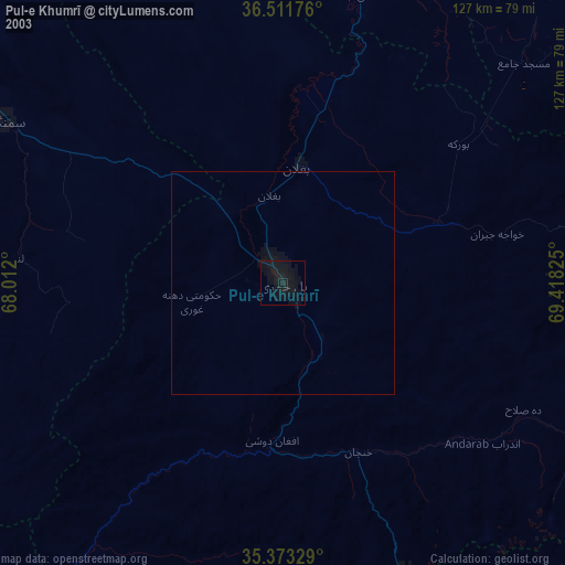
» NASA city lights 2003
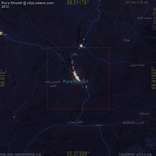
» Earth at Night: Flat Maps 2012, 2016