Mtsamboro night lights from space
Night Light of Mtsamboro from space (Mayotte) Src. Average luminocity for 10x10km area is 10.9177% and for 50x50km: 3.8888%.
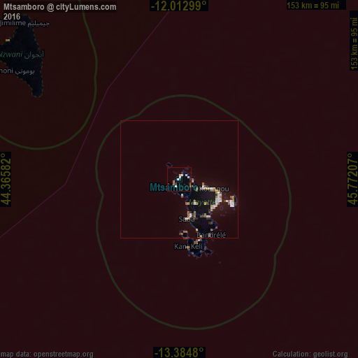
Analysis of Mtsamboro night lights 2016
Square area 10x10 km:
 1.73%
1.73%90-99
2.6%80-89
0.87%70-79
0.87%60-69
0.22%50-59
2.38%40-49
0%30-39
1.52%20-29
1.95%10-19
1.3%0-9
86.58%Square area 50x50 km:
0.43%90-99
0.54%80-89
0.29%70-79
0.37%60-69
0.53%50-59
0.78%40-49
0.29%30-39
0.55%20-29
0.53%10-19
3.31%0-9
92.38%Clear (daylight) street map image can be seen on geolist.org.
Map coordinates:
12° 0' 46.8" South, 44° 21' 57" East
12° 41' 59.4" South, 45° 4' 8.2" East
13° 23' 5.3" South, 45° 46' 19.5" East
Some cities around Mtsamboro sort by population:
• Koungou
15.1 km =9.4 mi,  104°
104°
• Sada
17.1 km =10.6 mi,  167°
167°
• Bandraboua
5.8 km =3.6 mi, 95°
• Tsingoni
10.4 km =6.5 mi,  159°
159°
• Ouangani
17.9 km =11.1 mi, 155°
• Chiconi
15.5 km =9.6 mi, 163°
• M'Tsangamouji
6.8 km =4.2 mi, 166°
• Acoua
2.9 km =1.8 mi,  203°
203°
1090126 (p: 7,724)
Sources (retrieved 2019-11-25):
» Earth at Night: Flat Maps 2012, 2016