Vũng Tàu night lights from space
Night Light of Vũng Tàu (Bà Rịa-Vũng Tàu) from space (Vietnam) Src. Average luminocity for 10x10km area is 42.6219% and for 50x50km: 15.5953%.
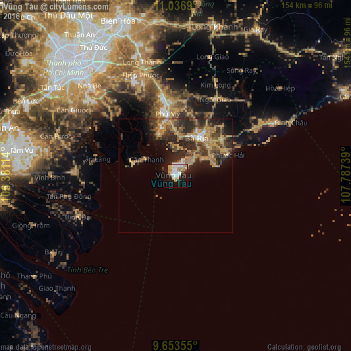
Analysis of Vũng Tàu night lights 2016
Square area 10x10 km:
 11.36%
90-99
8.68%80-89
5.17%70-79
7.44%60-69
6.61%50-59
0%40-49
2.27%30-39
2.07%20-29
7.44%10-19
30.17%0-9
18.8%Square area 50x50 km:
1.02%90-99
1.04%80-89
1.2%70-79
4.56%60-69
3.93%50-59
1.95%40-49
3.34%30-39
3.14%20-29
6.2%10-19
6.35%0-9
67.26%Clear (daylight) street map image can be seen on geolist.org.
Map coordinates:
11° 2' 12.8" North, 106° 22' 52.1" East
10° 20' 45.6" North, 107° 5' 3.3" East
9° 39' 12.8" North, 107° 47' 14.6" East
Some cities around Vũng Tàu sort by population:
• Ho Chi Minh City
72.7 km =45.2 mi,  316°
316°
• Biên Hòa
72.4 km =45 mi,  336°
336°
• Thị Xã Phú Mỹ
25.2 km =15.7 mi,  11°
11°
• Cần Giuộc
53.8 km =33.4 mi,  302°
302°
• Tân An
76.3 km =47.4 mi,  286°
286°
• Bến Tre
78.4 km =48.7 mi,  261°
261°
• Cần Giờ
15.9 km =9.9 mi, 297°
• Thành Phố Bà Rịa
19.1 km =11.9 mi,  28°
28°
1562414 (p: 209,683)
Sources (retrieved 2019-11-25):
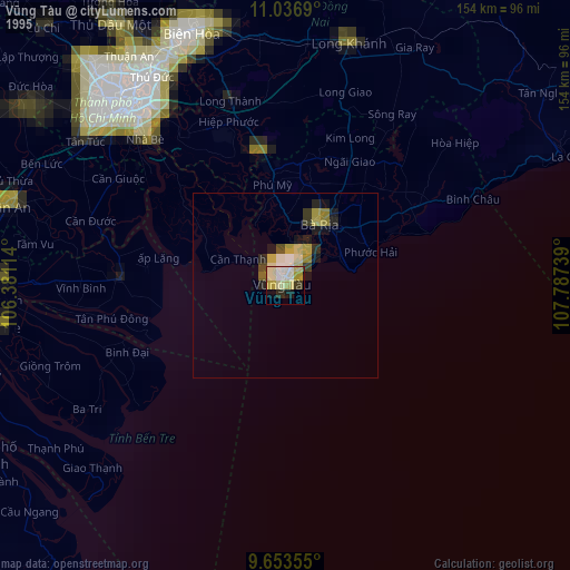
» NASA, Earths city lights 1995
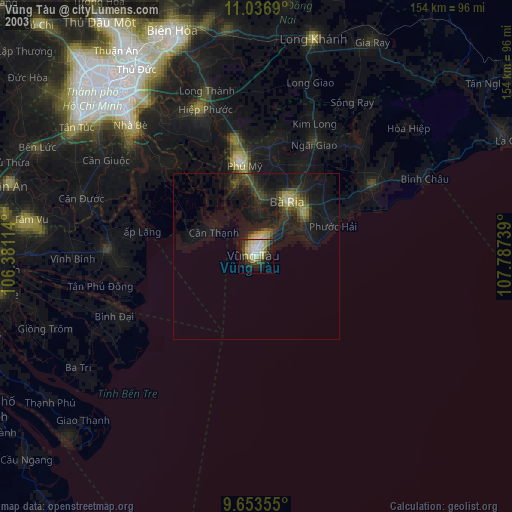
» NASA city lights 2003
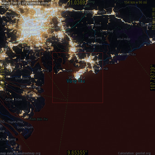
» Earth at Night: Flat Maps 2012, 2016