Qui Nhon night lights from space
Night Light of Qui Nhon (Bình Định) from space (Vietnam) Src. Average luminocity for 10x10km area is 47.2355% and for 50x50km: 5.4754%.
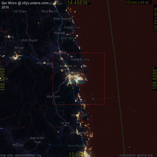
Analysis of Qui Nhon night lights 2016
Square area 10x10 km:
 6.4%
6.4%90-99
5.17%80-89
10.74%70-79
9.3%60-69
4.96%50-59
2.89%40-49
11.16%30-39
6.82%20-29
17.56%10-19
22.31%0-9
2.69%Square area 50x50 km:
0.26%90-99
0.26%80-89
0.77%70-79
0.98%60-69
0.79%50-59
0.64%40-49
1.21%30-39
1.18%20-29
2.22%10-19
3.94%0-9
87.74%Clear (daylight) street map image can be seen on geolist.org.
Map coordinates:
14° 27' 30.1" North, 108° 31' 14" East
13° 46' 35.3" North, 109° 13' 25.2" East
13° 5' 33.4" North, 109° 55' 36.5" East
Some cities around Qui Nhon sort by population:
• Nha Trang
170.3 km =105.8 mi,  181°
181°
• Buôn Ma Thuột
178 km =110.6 mi,  226°
226°
• Cam Ranh
206.4 km =128.3 mi, 181°
• Pleiku
134.1 km =83.3 mi,  279°
279°
• Sông Cầu
35.7 km =22.2 mi, 180°
• Tuy Hòa
76.4 km =47.5 mi,  172°
172°
• Kon Tum
146.1 km =90.8 mi,  296°
296°
• Quảng Ngãi
156.5 km =97.2 mi,  342°
342°
1568574 (p: 210,338)
Sources (retrieved 2019-11-25):
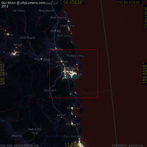
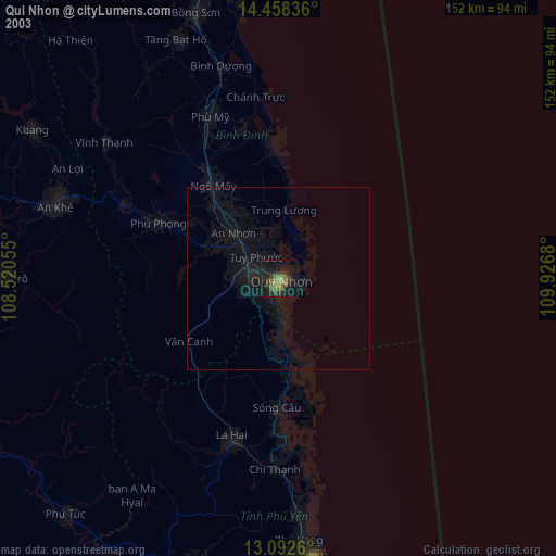
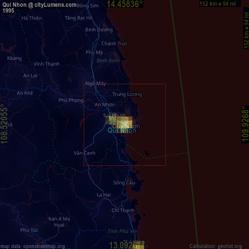
» NASA, Earths city lights 1995
» NASA city lights 2003
» Earth at Night: Flat Maps 2012, 2016