Marg‘ilon night lights from space
Night Light of Marg‘ilon (Fergana) from space (Uzbekistan) Src. Average luminocity for 10x10km area is 69.9983% and for 50x50km: 10.6379%.
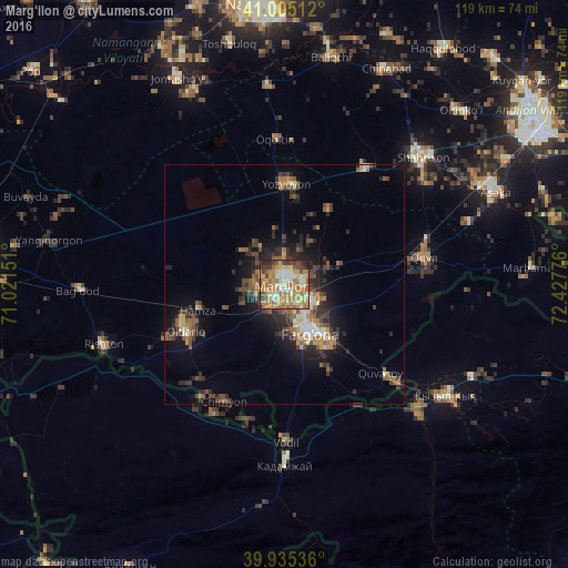
Analysis of Marg‘ilon night lights 2016
Square area 10x10 km:
 4.42%
4.42%90-99
15.65%80-89
15.48%70-79
18.2%60-69
21.6%50-59
6.63%40-49
6.29%30-39
8.33%20-29
3.4%10-19
0%0-9
0%Square area 50x50 km:
0.47%90-99
1.34%80-89
1.32%70-79
1.5%60-69
2.13%50-59
1.93%40-49
1.88%30-39
2.51%20-29
3.47%10-19
5.31%0-9
78.14%Clear (daylight) street map image can be seen on geolist.org.
Map coordinates:
41° 0' 18.4" North, 71° 1' 17.4" East
40° 28' 20.5" North, 71° 43' 28.7" East
39° 56' 7.3" North, 72° 25' 39.9" East
Some cities around Marg‘ilon sort by population:
• Fergana
11 km =6.8 mi,  152°
152°
• Quva
30 km =18.6 mi,  79°
79°
• Quvasoy
29.1 km =18.1 mi,  131°
131°
• Toshloq
3.7 km =2.3 mi, 81°
• Oltiariq
23 km =14.3 mi,  247°
247°
• Kirguli
5.5 km =3.4 mi,  138°
138°
• Yangi Marg‘ilon
5 km =3.1 mi,  185°
185°
• Hamza
19.2 km =11.9 mi, 254°
1513243 (p: 133,490)
Sources (retrieved 2019-11-25):
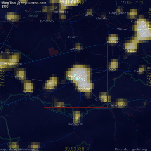
» NASA, Earths city lights 1995
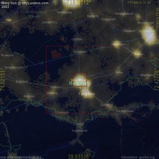
» NASA city lights 2003
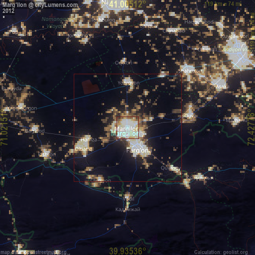
» Earth at Night: Flat Maps 2012, 2016