Kirguli night lights from space
Night Light of Kirguli (Fergana) from space (Uzbekistan) Src. Average luminocity for 10x10km area is 64.801% and for 50x50km: 10.6803%.
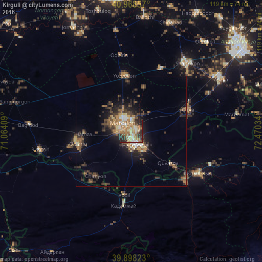
Analysis of Kirguli night lights 2016
Square area 10x10 km:
 4.42%
4.42%90-99
15.14%80-89
14.46%70-79
11.22%60-69
20.07%50-59
7.31%40-49
5.78%30-39
8.5%20-29
11.56%10-19
1.53%0-9
0%Square area 50x50 km:
0.43%90-99
1.3%80-89
1.25%70-79
1.4%60-69
2.19%50-59
1.97%40-49
1.93%30-39
2.68%20-29
3.86%10-19
5.14%0-9
77.84%Clear (daylight) street map image can be seen on geolist.org.
Map coordinates:
40° 58' 6.9" North, 71° 3' 50.7" East
40° 26' 7.9" North, 71° 46' 2" East
39° 53' 53.6" North, 72° 28' 13.2" East
Some cities around Kirguli sort by population:
• Fergana
5.9 km =3.7 mi,  165°
165°
• Marg‘ilon
5.5 km =3.4 mi,  318°
318°
• Quva
27.6 km =17.1 mi,  69°
69°
• Quvasoy
23.7 km =14.7 mi,  130°
130°
• Toshloq
4.6 km =2.9 mi,  0°
0°
• Oltiariq
25.3 km =15.7 mi,  258°
258°
• Yangi Marg‘ilon
4.2 km =2.6 mi, 257°
• Hamza
22.2 km =13.8 mi,  267°
267°
1513555 (p: 20,459)
Sources (retrieved 2019-11-25):
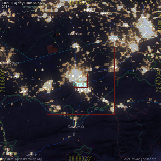
» Earth at Night: Flat Maps 2012, 2016