Worthington night lights from space
Night Light of Worthington (Minnesota) from space (United States) Src. Average luminocity for 10x10km area is 23.4106% and for 50x50km: 1.6591%.
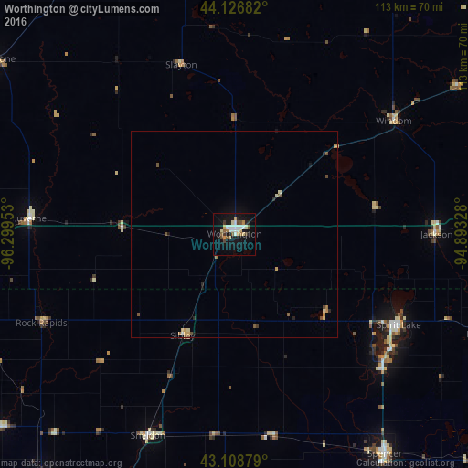
Analysis of Worthington night lights 2016
Square area 10x10 km:
 3.33%
3.33%90-99
4.7%80-89
3.94%70-79
2.58%60-69
0.91%50-59
2.88%40-49
3.03%30-39
1.67%20-29
2.42%10-19
23.79%0-9
50.76%Square area 50x50 km:
0.15%90-99
0.22%80-89
0.29%70-79
0.25%60-69
0.15%50-59
0.27%40-49
0.26%30-39
0.1%20-29
0.25%10-19
1.12%0-9
96.94%Clear (daylight) street map image can be seen on geolist.org.
Map coordinates:
44° 7' 36.6" North, 96° 17' 58.3" West
43° 37' 11.9" North, 95° 35' 47" West
43° 6' 31.6" North, 94° 53' 35.8" West
Some cities around Worthington sort by population:
• Sioux Falls
89.3 km =55.5 mi,  264°
264°
• Spencer
64.5 km =40.1 mi,  145°
145°
• Brandon
78.6 km =48.8 mi,  267°
267°
• Sioux Center
76.2 km =47.3 mi,  217°
217°
• Orange City
77.7 km =48.3 mi,  208°
208°
• Estherville
66.2 km =41.1 mi,  111°
111°
• Sheldon
53.1 km =33 mi,  203°
203°
• Spirit Lake
45.5 km =28.3 mi,  118°
118°
5053460 (p: 13,090)
Sources (retrieved 2019-11-25):
» Earth at Night: Flat Maps 2012, 2016