Wilmington night lights from space
Night Light of Wilmington (North Carolina) from space (United States) Src. Average luminocity for 10x10km area is 80.2601% and for 50x50km: 21.3606%.
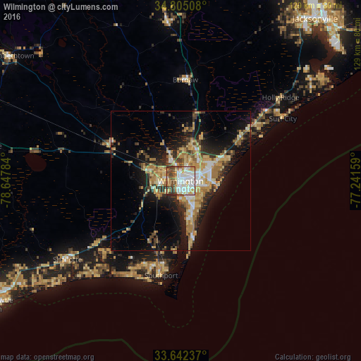

Analysis of Wilmington night lights 2016
Square area 10x10 km:
 24.36%
90-99
25.82%80-89
12.82%70-79
7.51%60-69
6.04%50-59
6.04%40-49
10.99%30-39
6.23%20-29
0.18%10-19
0%0-9
0%Square area 50x50 km:
2.56%90-99
2.71%80-89
4.46%70-79
3.54%60-69
4.36%50-59
1.7%40-49
2.38%30-39
3.49%20-29
4.74%10-19
11.44%0-9
58.61%Clear (daylight) street map image can be seen on geolist.org.
Map coordinates:
34° 48' 18.3" North, 78° 38' 52.2" West
34° 13' 32.6" North, 77° 56' 41" West
33° 38' 32.5" North, 77° 14' 29.7" West
Some cities around Wilmington sort by population:
• Leland
9.8 km =6.1 mi,  290°
290°
• Masonboro
10.3 km =6.4 mi,  119°
119°
• Murraysville
11.8 km =7.3 mi,  48°
48°
• Myrtle Grove
11.7 km =7.3 mi,  150°
150°
• Kings Grant
8.5 km =5.3 mi,  60°
60°
• Ogden
12.7 km =7.9 mi,  65°
65°
• Carolina Beach
21.7 km =13.5 mi,  167°
167°
• Silver Lake
9 km =5.6 mi,  161°
161°
4499379 (p: 115,933)
Sources (retrieved 2019-11-25):
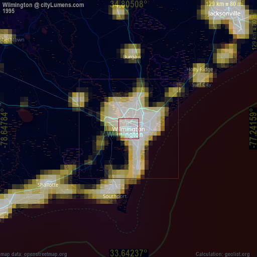
» NASA, Earths city lights 1995
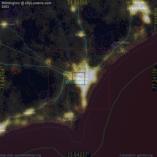
» NASA city lights 2003
» Earth at Night: Flat Maps 2012, 2016