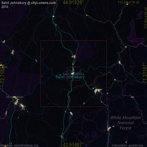
Saint Johnsbury night lights from space
Night Light of Saint Johnsbury (Vermont) from space (United States) Src. Average luminocity for 10x10km area is 4.7778% and for 50x50km: 0.8518%.
Analysis of Saint Johnsbury night lights 2016
Square area 10x10 km:
 0%
0%90-99
0.79%80-89
0.48%70-79
0%60-69
0.63%50-59
1.27%40-49
2.54%30-39
0.48%20-29
2.22%10-19
0.48%0-9
91.11%Square area 50x50 km:
0.01%90-99
0.14%80-89
0.13%70-79
0.12%60-69
0.1%50-59
0.18%40-49
0.12%30-39
0.1%20-29
0.22%10-19
0.17%0-9
98.7%Clear (daylight) street map image can be seen on geolist.org.
Map coordinates:
44° 55' 9.3" North, 72° 43' 5.6" West
44° 25' 9.2" North, 72° 0' 54.3" West
43° 54' 53.5" North, 71° 18' 43.1" West
Some cities around Saint Johnsbury sort by population:
• Berlin
66.1 km =41.1 mi,  85°
85°
• Barre
46 km =28.6 mi,  237°
237°
• Hanover
82.7 km =51.4 mi,  195°
195°
• Montpelier
47.9 km =29.8 mi,  248°
248°
• St Johnsbury
0.7 km =0.4 mi,  359°
359°
• Coaticook, CA
81.2 km =50.5 mi,  12°
12°
• Morristown
50.7 km =31.5 mi,  287°
287°
• Lyndon
10.6 km =6.6 mi,  1°
1°
5240656 (p: 6,193)
Sources (retrieved 2019-11-25):
» Earth at Night: Flat Maps 2012, 2016