Russellville night lights from space
Night Light of Russellville (Arkansas) from space (United States) Src. Average luminocity for 10x10km area is 60.6066% and for 50x50km: 5.7725%.
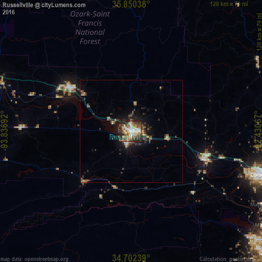
Analysis of Russellville night lights 2016
Square area 10x10 km:
 8.39%
8.39%90-99
11.36%80-89
11.36%70-79
8.74%60-69
10.31%50-59
11.19%40-49
11.89%30-39
8.74%20-29
15.03%10-19
2.97%0-9
0%Square area 50x50 km:
0.42%90-99
0.55%80-89
0.7%70-79
0.65%60-69
0.91%50-59
1.1%40-49
1.23%30-39
1.52%20-29
1.68%10-19
3.77%0-9
87.46%Clear (daylight) street map image can be seen on geolist.org.
Map coordinates:
35° 51' 1.4" North, 93° 50' 12.9" West
35° 16' 42.3" North, 93° 8' 1.6" West
34° 42' 8.6" North, 92° 25' 50.4" West
Some cities around Russellville sort by population:
• Conway
66.3 km =41.2 mi,  108°
108°
• Hot Springs
86.4 km =53.7 mi,  175°
175°
• Hot Springs National Park
83.3 km =51.8 mi, 175°
• Maumelle
80.6 km =50.1 mi,  124°
124°
• Hot Springs Village
68.5 km =42.6 mi,  169°
169°
• Clarksville
37 km =23 mi,  305°
305°
• Morrilton
38.1 km =23.7 mi, 111°
• Greenbrier
67.9 km =42.2 mi,  94°
94°
4129397 (p: 29,166)
Sources (retrieved 2019-11-25):
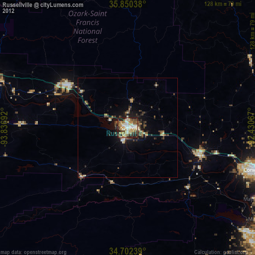
» Earth at Night: Flat Maps 2012, 2016