Princeton night lights from space
Night Light of Princeton (Texas) from space (United States) Src. Average luminocity for 10x10km area is 22.7902% and for 50x50km: 31.4902%.
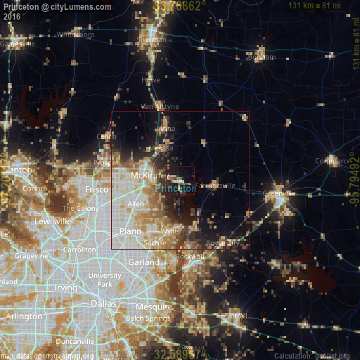
Analysis of Princeton night lights 2016
Square area 10x10 km:
 1.05%
1.05%90-99
1.05%80-89
4.2%70-79
3.85%60-69
1.75%50-59
3.5%40-49
4.2%30-39
5.42%20-29
5.59%10-19
31.47%0-9
37.94%Square area 50x50 km:
6.52%90-99
7.19%80-89
4.83%70-79
4.02%60-69
4.41%50-59
3.78%40-49
2.62%30-39
4.05%20-29
5.04%10-19
9.6%0-9
47.95%Clear (daylight) street map image can be seen on geolist.org.
Map coordinates:
33° 45' 59.8" North, 97° 12' 4.2" West
33° 10' 48.4" North, 96° 29' 52.9" West
32° 35' 22.8" North, 95° 47' 41.7" West
Some cities around Princeton sort by population:
• McKinney
11.1 km =6.9 mi,  280°
280°
• Allen
18.2 km =11.3 mi,  241°
241°
• Wylie
18.7 km =11.6 mi,  191°
191°
• Murphy
21.2 km =13.2 mi,  210°
210°
• Anna
19.4 km =12.1 mi,  345°
345°
• Fairview
12.7 km =7.9 mi,  258°
258°
• Melissa
13.7 km =8.5 mi,  329°
329°
• Lucas
12.9 km =8 mi, 214°
4720743 (p: 8,939)
Sources (retrieved 2019-11-25):
» Earth at Night: Flat Maps 2012, 2016