Olivehurst night lights from space
Night Light of Olivehurst (California) from space (United States) Src. Average luminocity for 10x10km area is 28.5049% and for 50x50km: 6.0993%.
Analysis of Olivehurst night lights 2016
Square area 10x10 km:
 0.97%
0.97%90-99
0.65%80-89
1.46%70-79
5.84%60-69
6.49%50-59
8.28%40-49
7.95%30-39
6.49%20-29
9.42%10-19
21.1%0-9
31.33%Square area 50x50 km:
0.41%90-99
0.54%80-89
0.39%70-79
1.44%60-69
1.02%50-59
1.2%40-49
1.2%30-39
0.99%20-29
1.28%10-19
4.08%0-9
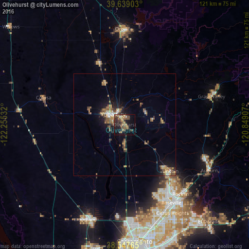
87.47%Clear (daylight) street map image can be seen on geolist.org.
Map coordinates:
39° 38' 20.5" North, 122° 15' 19.2" West
39° 5' 43.6" North, 121° 33' 7.9" West
38° 32' 51.5" North, 120° 50' 56.7" West
Some cities around Olivehurst sort by population:
• Yuba City
7.5 km =4.7 mi,  311°
311°
• Lincoln
31.9 km =19.8 mi,  135°
135°
• Linda
3.6 km =2.2 mi,  1°
1°
• South Yuba City
7.9 km =4.9 mi,  287°
287°
• Marysville
6.5 km =4 mi,  328°
328°
• Live Oak
22.1 km =13.7 mi,  335°
335°
• Plumas Lake
8.3 km =5.2 mi,  183°
183°
• Tierra Buena
11.5 km =7.1 mi,  300°
300°
5379264 (p: 13,656)
Sources (retrieved 2019-11-25):
» Earth at Night: Flat Maps 2012, 2016