Yuba City night lights from space
Night Light of Yuba City (California) from space (United States) Src. Average luminocity for 10x10km area is 51.9432% and for 50x50km: 5.2063%.
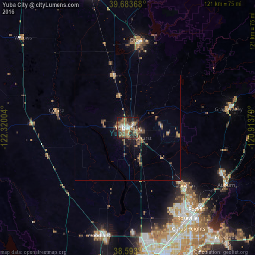
Analysis of Yuba City night lights 2016
Square area 10x10 km:
 6.66%
6.66%90-99
8.44%80-89
4.71%70-79
11.53%60-69
8.28%50-59
11.69%40-49
10.71%30-39
6.17%20-29
14.77%10-19
16.56%0-9
0.49%Square area 50x50 km:
0.32%90-99
0.4%80-89
0.28%70-79
1.23%60-69
0.91%50-59
1.01%40-49
1.06%30-39
0.88%20-29
1.16%10-19
3.35%0-9
89.4%Clear (daylight) street map image can be seen on geolist.org.
Map coordinates:
39° 41' 1.2" North, 122° 19' 12.1" West
39° 8' 25.6" North, 121° 37' 0.9" West
38° 35' 34.8" North, 120° 54' 49.6" West
Some cities around Yuba City sort by population:
• Linda
5.9 km =3.7 mi,  103°
103°
• South Yuba City
3.3 km =2.1 mi,  215°
215°
• Olivehurst
7.5 km =4.7 mi,  131°
131°
• Marysville
2.3 km =1.4 mi,  75°
75°
• Live Oak
15.5 km =9.6 mi,  346°
346°
• Gridley
25.7 km =16 mi, 345°
• Plumas Lake
14.2 km =8.8 mi,  159°
159°
• Tierra Buena
4.4 km =2.7 mi,  282°
282°
5411015 (p: 66,941)
Sources (retrieved 2019-11-25):
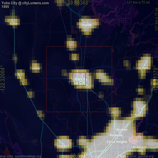
» NASA, Earths city lights 1995
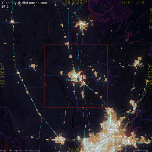
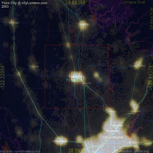
» NASA city lights 2003
» Earth at Night: Flat Maps 2012, 2016