Mukwonago night lights from space
Night Light of Mukwonago (Wisconsin) from space (United States) Src. Average luminocity for 10x10km area is 21.0429% and for 50x50km: 21.4948%.
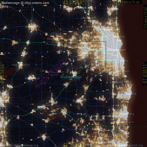
Analysis of Mukwonago night lights 2016
Square area 10x10 km:
 1.27%
1.27%90-99
2.06%80-89
4.29%70-79
3.17%60-69
1.9%50-59
1.27%40-49
3.97%30-39
2.54%20-29
6.03%10-19
20%0-9
53.49%Square area 50x50 km:
3.07%90-99
3.25%80-89
2.51%70-79
2.54%60-69
4.19%50-59
3.86%40-49
3.82%30-39
3.01%20-29
4.25%10-19
9.48%0-9
60.02%Clear (daylight) street map image can be seen on geolist.org.
Map coordinates:
43° 22' 47.6" North, 89° 2' 11.6" West
42° 52' 0" North, 88° 20' 0.3" West
42° 20' 57" North, 87° 37' 49.1" West
Some cities around Mukwonago sort by population:
• Waukesha
18.1 km =11.2 mi,  27°
27°
• New Berlin
22 km =13.7 mi,  56°
56°
• Muskego
16.4 km =10.2 mi,  74°
74°
• Burlington
21.5 km =13.4 mi,  167°
167°
• Delafield
22.3 km =13.9 mi,  345°
345°
• Waterford
15.1 km =9.4 mi,  139°
139°
• Wind Lake
14.8 km =9.2 mi,  106°
106°
• Tichigan
11.8 km =7.3 mi, 110°
5263965 (p: 7,721)
Sources (retrieved 2019-11-25):
» Earth at Night: Flat Maps 2012, 2016