Moses Lake night lights from space
Night Light of Moses Lake (Washington) from space (United States) Src. Average luminocity for 10x10km area is 41.6861% and for 50x50km: 3.2842%.
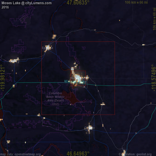

Analysis of Moses Lake night lights 2016
Square area 10x10 km:
 6.68%
6.68%90-99
10.37%80-89
3.27%70-79
4.4%60-69
4.83%50-59
6.11%40-49
3.84%30-39
5.11%20-29
16.62%10-19
34.09%0-9
4.69%Square area 50x50 km:
0.44%90-99
0.63%80-89
0.26%70-79
0.33%60-69
0.39%50-59
0.45%40-49
0.33%30-39
0.37%20-29
0.93%10-19
2.57%0-9
93.3%Clear (daylight) street map image can be seen on geolist.org.
Map coordinates:
47° 36' 22.9" North, 119° 58' 52.4" West
47° 7' 48.5" North, 119° 16' 41.1" West
46° 38' 58.7" North, 118° 34' 29.9" West
Some cities around Moses Lake sort by population:
• Wenatchee
84.4 km =52.4 mi,  292°
292°
• West Richland
92 km =57.2 mi,  183°
183°
• East Wenatchee
82.9 km =51.5 mi, 292°
• East Wenatchee Bench
82.5 km =51.3 mi, 293°
• Ephrata
29.5 km =18.3 mi,  315°
315°
• Othello
34.7 km =21.6 mi,  167°
167°
• Quincy
44.9 km =27.9 mi,  284°
284°
• Connell
60.8 km =37.8 mi,  148°
148°
5803990 (p: 22,082)
Sources (retrieved 2019-11-25):
» Earth at Night: Flat Maps 2012, 2016