Keizer night lights from space
Night Light of Keizer (Oregon) from space (United States) Src. Average luminocity for 10x10km area is 64.4063% and for 50x50km: 9.9923%.
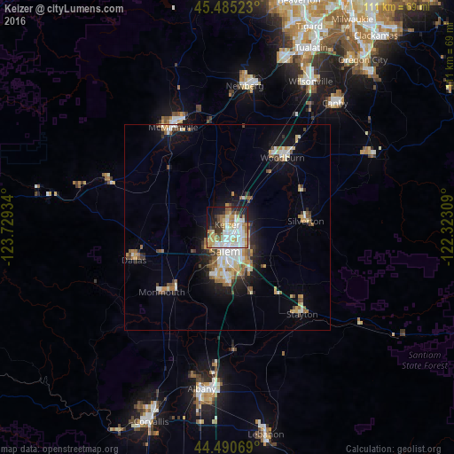
Analysis of Keizer night lights 2016
Square area 10x10 km:
 17.14%
90-99
16.67%80-89
8.1%70-79
8.41%60-69
11.43%50-59
4.29%40-49
3.81%30-39
6.67%20-29
10.32%10-19
10.48%0-9
2.7%Square area 50x50 km:
1.58%90-99
1.9%80-89
1.2%70-79
1.18%60-69
1.63%50-59
1.1%40-49
1.16%30-39
1.06%20-29
1.74%10-19
5.53%0-9
81.94%Clear (daylight) street map image can be seen on geolist.org.
Map coordinates:
45° 29' 6.8" North, 123° 43' 45.6" West
44° 59' 24.4" North, 123° 1' 34.4" West
44° 29' 26.5" North, 122° 19' 23.1" West
Some cities around Keizer sort by population:
• Salem
5.3 km =3.3 mi,  187°
187°
• Woodburn
21.7 km =13.5 mi,  38°
38°
• Hayesville
3.4 km =2.1 mi,  97°
97°
• Four Corners
7.7 km =4.8 mi,  154°
154°
• Dallas
24.2 km =15 mi,  251°
251°
• Monmouth
22.7 km =14.1 mi,  226°
226°
• Silverton
19.2 km =11.9 mi,  85°
85°
• Independence
20 km =12.4 mi,  219°
219°
5734711 (p: 37,895)
Sources (retrieved 2019-11-25):
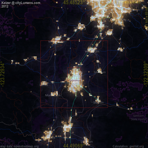
» Earth at Night: Flat Maps 2012, 2016