Hayesville night lights from space
Night Light of Hayesville (Oregon) from space (United States) Src. Average luminocity for 10x10km area is 60.3587% and for 50x50km: 9.6694%.
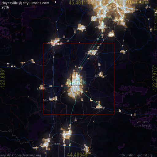
Analysis of Hayesville night lights 2016
Square area 10x10 km:
 17.62%
90-99
16.19%80-89
7.62%70-79
5.24%60-69
10.16%50-59
3.65%40-49
2.38%30-39
4.29%20-29
13.02%10-19
14.6%0-9
5.24%Square area 50x50 km:
1.53%90-99
1.87%80-89
1.2%70-79
1.09%60-69
1.53%50-59
1.06%40-49
1.08%30-39
1.03%20-29
1.69%10-19
5.49%0-9
82.44%Clear (daylight) street map image can be seen on geolist.org.
Map coordinates:
45° 28' 52" North, 123° 41' 9.6" West
44° 59' 9.4" North, 122° 58' 58.3" West
44° 29' 11.4" North, 122° 16' 47.1" West
Some cities around Hayesville sort by population:
• Salem
6.3 km =3.9 mi,  220°
220°
• Keizer
3.4 km =2.1 mi,  277°
277°
• Woodburn
20.2 km =12.6 mi,  29°
29°
• Four Corners
6.5 km =4 mi,  180°
180°
• Monmouth
25 km =15.5 mi,  232°
232°
• Silverton
15.8 km =9.8 mi,  82°
82°
• Independence
22 km =13.7 mi, 226°
• Stayton
25.4 km =15.8 mi,  144°
144°
5730675 (p: 19,936)
Sources (retrieved 2019-11-25):
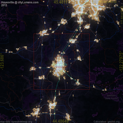
» Earth at Night: Flat Maps 2012, 2016