Johnson City night lights from space
Night Light of Johnson City (Tennessee) from space (United States) Src. Average luminocity for 10x10km area is 77.1154% and for 50x50km: 22.7977%.
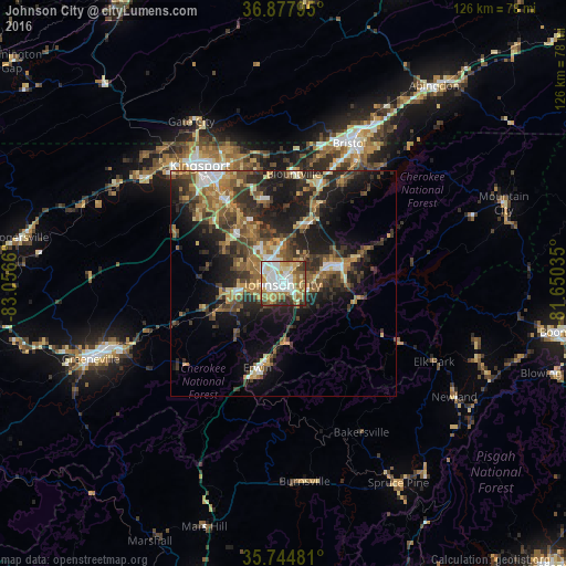
Analysis of Johnson City night lights 2016
Square area 10x10 km:
 18.71%
90-99
22.2%80-89
13.11%70-79
11.54%60-69
10.84%50-59
7.17%40-49
6.29%30-39
6.82%20-29
3.32%10-19
0%0-9
0%Square area 50x50 km:
2.06%90-99
2.4%80-89
3.16%70-79
2.94%60-69
4.32%50-59
3.99%40-49
4.39%30-39
5.88%20-29
7.52%10-19
13.25%0-9
50.08%Clear (daylight) street map image can be seen on geolist.org.
Map coordinates:
36° 52' 40.6" North, 83° 3' 23.8" West
36° 18' 48.4" North, 82° 21' 12.5" West
35° 44' 41.3" North, 81° 39' 1.3" West
Some cities around Johnson City sort by population:
• Kingsport
32.1 km =19.9 mi,  324°
324°
• Bristol
34.6 km =21.5 mi,  25°
25°
• Bristol
34.8 km =21.6 mi, 25°
• Elizabethton
13.4 km =8.3 mi,  72°
72°
• Bloomingdale
32.5 km =20.2 mi,  338°
338°
• Colonial Heights
23.3 km =14.5 mi, 324°
• Erwin
19.6 km =12.2 mi,  196°
196°
• Jonesborough
11 km =6.8 mi,  258°
258°
4633419 (p: 66,027)
Sources (retrieved 2019-11-25):
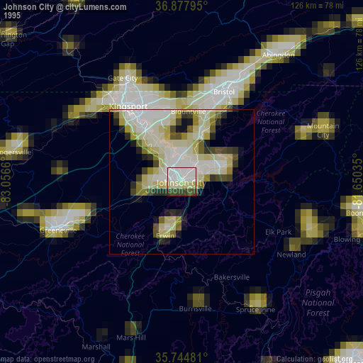
» NASA, Earths city lights 1995
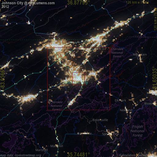
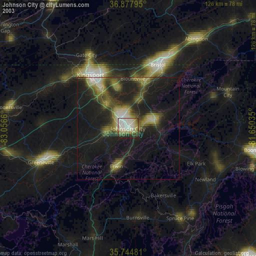
» NASA city lights 2003
» Earth at Night: Flat Maps 2012, 2016