Kingsport night lights from space
Night Light of Kingsport (Tennessee) from space (United States) Src. Average luminocity for 10x10km area is 76.4322% and for 50x50km: 19.8916%.
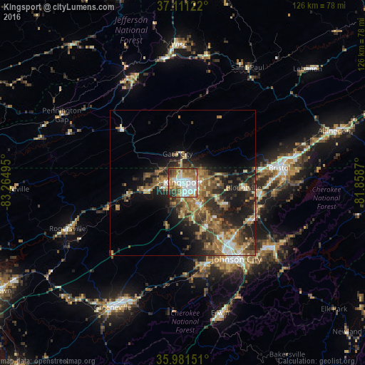
Analysis of Kingsport night lights 2016
Square area 10x10 km:
 24.18%
90-99
18.32%80-89
7.88%70-79
11.17%60-69
12.09%50-59
9.16%40-49
8.24%30-39
6.23%20-29
2.75%10-19
0%0-9
0%Square area 50x50 km:
2.04%90-99
2.08%80-89
2.86%70-79
2.55%60-69
3.98%50-59
3.91%40-49
3.82%30-39
4.48%20-29
5.98%10-19
10.16%0-9
58.14%Clear (daylight) street map image can be seen on geolist.org.
Map coordinates:
37° 6' 40.4" North, 83° 15' 53.8" West
36° 32' 54.3" North, 82° 33' 42.6" West
35° 58' 53.4" North, 81° 51' 31.3" West
Some cities around Kingsport sort by population:
• Johnson City
32.1 km =19.9 mi,  144°
144°
• Bristol
33.7 km =20.9 mi,  81°
81°
• Bristol
33.8 km =21 mi, 80°
• Bloomingdale
7.6 km =4.7 mi,  58°
58°
• Colonial Heights
8.8 km =5.5 mi, 143°
• Church Hill
13.9 km =8.6 mi,  257°
257°
• Mount Carmel
8.9 km =5.5 mi,  267°
267°
• Jonesborough
29.3 km =18.2 mi,  164°
164°
4634662 (p: 53,014)
Sources (retrieved 2019-11-25):
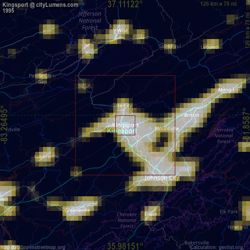
» NASA, Earths city lights 1995
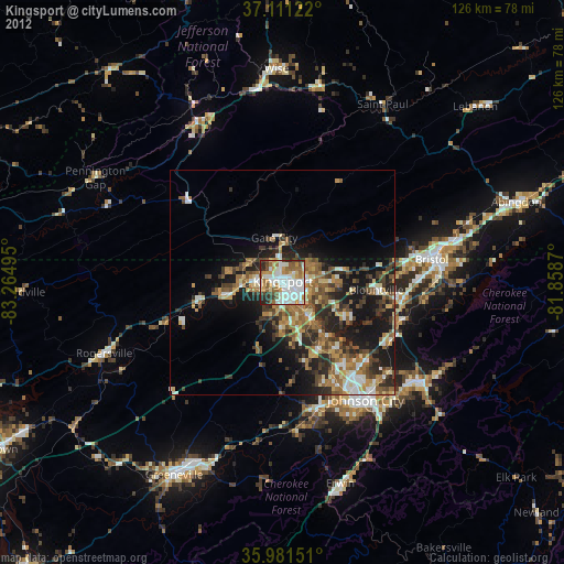
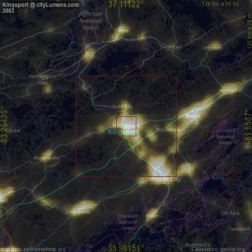
» NASA city lights 2003
» Earth at Night: Flat Maps 2012, 2016