Grand Blanc night lights from space
Night Light of Grand Blanc (Michigan) from space (United States) Src. Average luminocity for 10x10km area is 60.0222% and for 50x50km: 22.2589%.
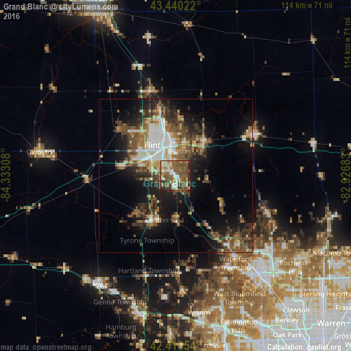
Analysis of Grand Blanc night lights 2016
Square area 10x10 km:
 5.71%
5.71%90-99
10.48%80-89
6.67%70-79
6.19%60-69
13.02%50-59
24.6%40-49
16.98%30-39
8.1%20-29
5.87%10-19
2.38%0-9
0%Square area 50x50 km:
2.91%90-99
3.81%80-89
1.86%70-79
2.02%60-69
3.38%50-59
4.68%40-49
5.21%30-39
4.33%20-29
5.44%10-19
11.25%0-9
55.11%Clear (daylight) street map image can be seen on geolist.org.
Map coordinates:
43° 26' 24.8" North, 84° 19' 59.1" West
42° 55' 39.1" North, 83° 37' 47.8" West
42° 24' 37.9" North, 82° 55' 36.6" West
Some cities around Grand Blanc sort by population:
• Flint
10.5 km =6.5 mi,  333°
333°
• Burton
8.1 km =5 mi,  7°
7°
• Fenton
15.7 km =9.8 mi,  202°
202°
• Beecher
18.8 km =11.7 mi,  343°
343°
• Flushing
23.5 km =14.6 mi,  309°
309°
• Holly
15.1 km =9.4 mi,  179°
179°
• Swartz Creek
16.7 km =10.4 mi,  281°
281°
• Lake Fenton
11 km =6.8 mi,  214°
214°
4994320 (p: 7,993)
Sources (retrieved 2019-11-25):
» Earth at Night: Flat Maps 2012, 2016