Burton night lights from space
Night Light of Burton (Michigan) from space (United States) Src. Average luminocity for 10x10km area is 69.4317% and for 50x50km: 21.4482%.
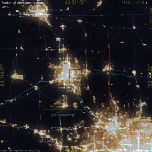
Analysis of Burton night lights 2016
Square area 10x10 km:
 15.24%
90-99
17.3%80-89
6.03%70-79
8.89%60-69
10.95%50-59
17.94%40-49
14.13%30-39
3.81%20-29
4.92%10-19
0.79%0-9
0%Square area 50x50 km:
2.91%90-99
3.77%80-89
1.96%70-79
1.94%60-69
3.32%50-59
4.22%40-49
4.48%30-39
4.01%20-29
5.22%10-19
11.18%0-9
56.99%Clear (daylight) street map image can be seen on geolist.org.
Map coordinates:
43° 30' 41.6" North, 84° 19' 10.1" West
42° 59' 58.1" North, 83° 36' 58.8" West
42° 28' 59.1" North, 82° 54' 47.6" West
Some cities around Burton sort by population:
• Flint
6 km =3.7 mi,  284°
284°
• Fenton
23.6 km =14.7 mi,  197°
197°
• Beecher
11.9 km =7.4 mi,  327°
327°
• Flushing
20.3 km =12.6 mi,  290°
290°
• Grand Blanc
8.1 km =5 mi,  187°
187°
• Holly
23.1 km =14.4 mi,  182°
182°
• Swartz Creek
18 km =11.2 mi,  254°
254°
• Lake Fenton
18.6 km =11.6 mi, 203°
4987482 (p: 28,788)
Sources (retrieved 2019-11-25):
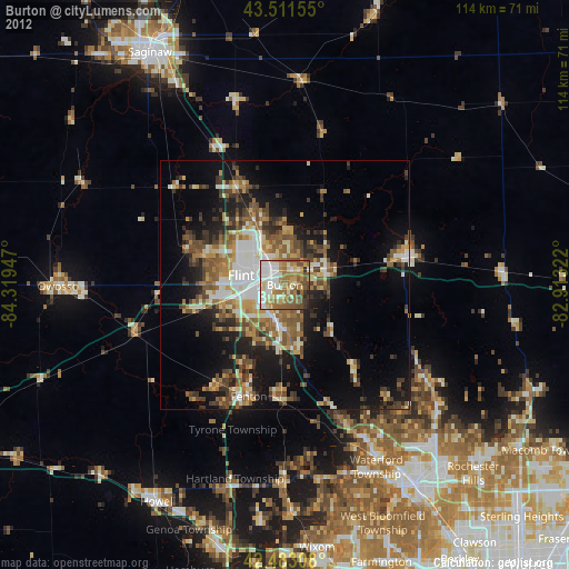
» Earth at Night: Flat Maps 2012, 2016